
Aerial Imagery & LiDAR Data | 1940s
1944 Brazoria County 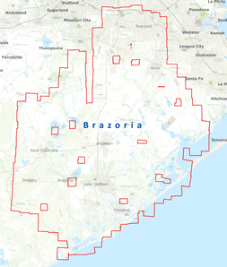
1943-44 Harris County 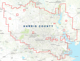
1943 Matagorda County 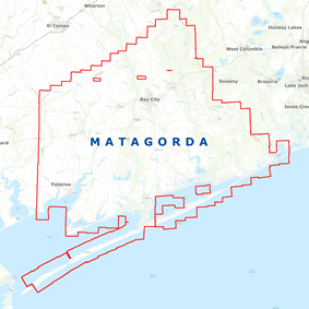
Dates:
1943 and 1944
Format:
8-bit Black & White digital georeferenced grayscale images, TIFF
Resolution:
9" x 9" Photos scanned at 500 dpi
Source:
Texas Natural Resources Information System (TNRIS)
Locations:
Brazoria, Harris and County