1970 Chambers County
SKIP TO PAGE CONTENT
  • Land
  •  
  • Land Management
  •  
  • gis
  •  
  • aerials
  •  
  • 1970

Aerial Imagery & 3D Elevation (LiDAR) Catalog


To request the high-resolution imagery, please send the flight date/name, and the list of your requested tiles, to the General Land Office Geospatial Team at Geospatial@glo.texas.gov or 512-463-4352.

The Texas General Land Office makes no representations or warranties regarding the accuracy or completeness of the information depicted on these images, or the data from which they were produced. These images ARE NOT suitable for navigational purposes and do not purport to depict or establish boundaries between private and public land.
Photo credit: Texas General Land Office.
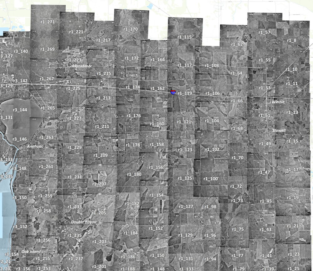
 

3_140 3_142 3_14 3_146 3_148 3_150 3_152 3_154 3_156 1_253 1_255 1_256 1_258 1_259 1_261 1_263 1_265 1_267 1_269 1_271 1_221 1_223 1_225 1_227 1_229 1_231 1_233 1_235 1_237 1_201 1_203 1_205 1_207 1_209 1_211 1_213 1_215 1_217 1_170 1_172 1_174 1_176 1_178 1_180 1_182 1_184 1_186 1_188 1_164 1_162 1_160 1_158 1_156 1_154 1_115 1_117 1_119 1_121 1_123 1_125 1_127 1_129 1_131 1_133 1_108 1_106 1_104 1_102 1_100 1_98 1_96 1_94 1_79 1_77 1_152 1_150 1_148 1_75 1_73 1_72 1_70 1_68 1_66 1_64 1_62 1_57 1_55 1_53 1_51 1_49 1_47 1_45 1_43 1_41 1_39 1_25 1_23 1_21 1_19 1_17 1_15 1_13 1_11 1_10 1_8 3_127 3_129 3_131 3_13