1970 Chambers County
SKIP TO PAGE CONTENT
  • Land
  •  
  • Land Management
  •  
  • gis
  •  
  • aerials
  •  
  • 1970

Aerial Imagery & 3D Elevation (LiDAR) Catalog


To request the high-resolution imagery, please send the flight date/name, and the list of your requested tiles, to the General Land Office Geospatial Team at Geospatial@glo.texas.gov or 512-463-4352.

The Texas General Land Office makes no representations or warranties regarding the accuracy or completeness of the information depicted on these images, or the data from which they were produced. These images ARE NOT suitable for navigational purposes and do not purport to depict or establish boundaries between private and public land.
Photo credit: Texas General Land Office.
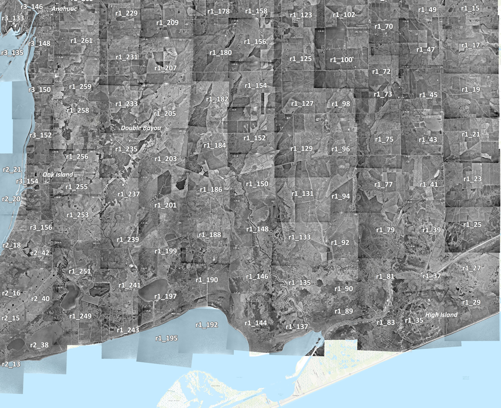
 

1_29 1_27 1_25 1_23 1_21 1_19 1_17 1_15 1_49 1_47 1_45 1_43 1_41 1_39 1_37 1_35 1_83 1_81 1_79 1_77 1_75 1_73 1_72 1_89 1_102 1_100 1_98 1_96 1_70 1_90 1_94 1_92 1_125 1_127 1_129 1_131 1_133 1_135 1_137 1_123 1_144 1_146 1_148 1_150 1_152 1_154 1_156 1_158 1_192 1_190 1_188 1_186 1_184 1_180 1_205 1_178 1_195 1_197 1_207 1_199 1_201 1_203 1_182 3_146 3_148 3_150 3_152 3_154 3_156 2_42 2_40 2_38 2_21 3_135 3_133 2_20 2_18 2_16 2_15 2_13 1_261 1_259 1_258 1_256 1_255 1_253 1_251 1_249 1_229 1_231 1_233 1_235 1_237 1_239 1_241 1_243 1_20