
Lower Coast 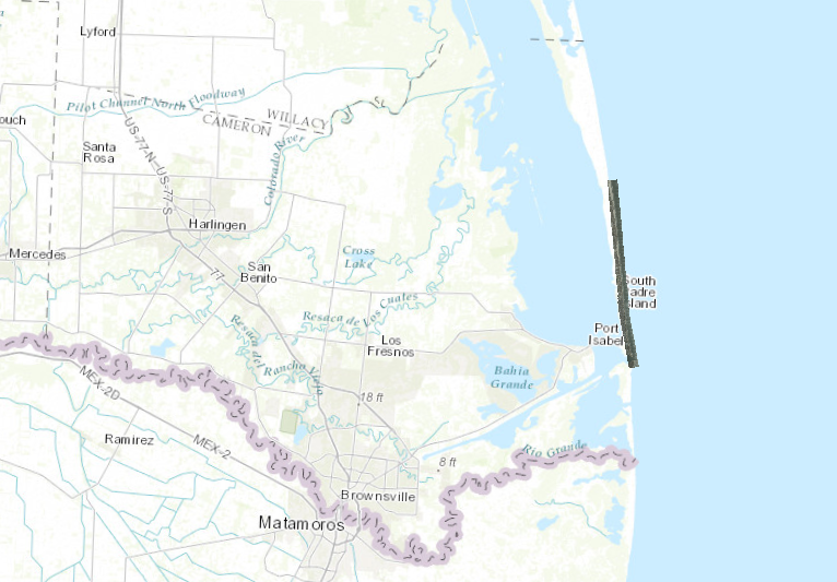
Middle Coast 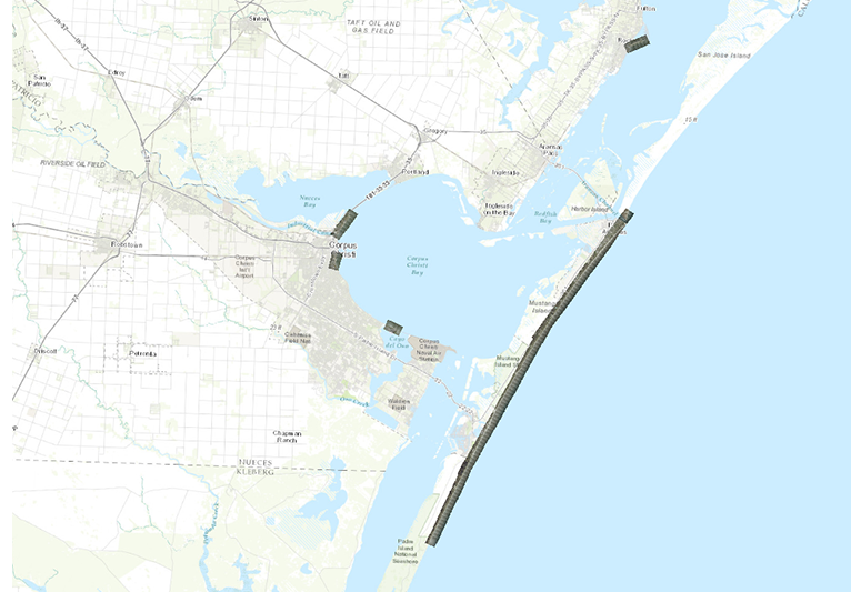
Upper Coast 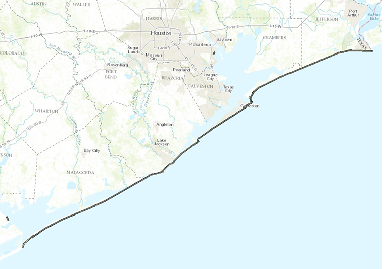
Date:
July 2015
Format:
Georeferenced digital images: GeoTIFF
Coordinate System:
UTM NAD 83, Zone 15
Resolution:
10 cm
Locations:
Coastwide
Source:
Midwest Aerial Photography