
Aerial Imagery & LiDAR Data > 2000 - 2009
January/February 2002
To request the high-resolution imagery, please send the flight date/name, and the list of your requested tiles, to the General Land Office Geospatial Team at Geospatial@glo.texas.gov or 512-463-4352.
The Texas General Land Office makes no representations or warranties regarding the accuracy or completeness of the information depicted on these images, or the data from which they were produced. These images ARE NOT suitable for navigational purposes and do not purport to depict or establish boundaries between private and public land.
Photo credit: Texas General Land Office.
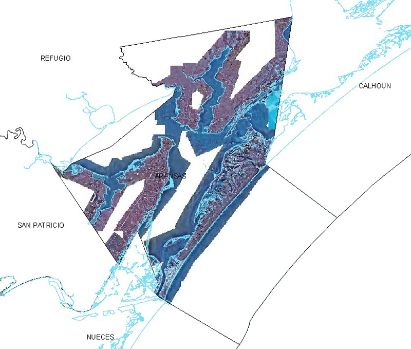
Aransas County 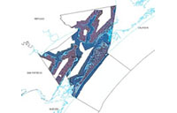
Brazoria County 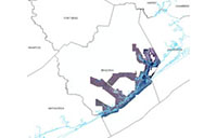

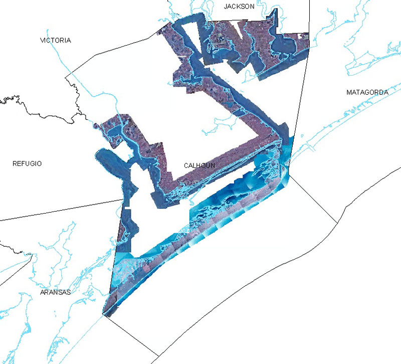
Calhoun County 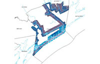
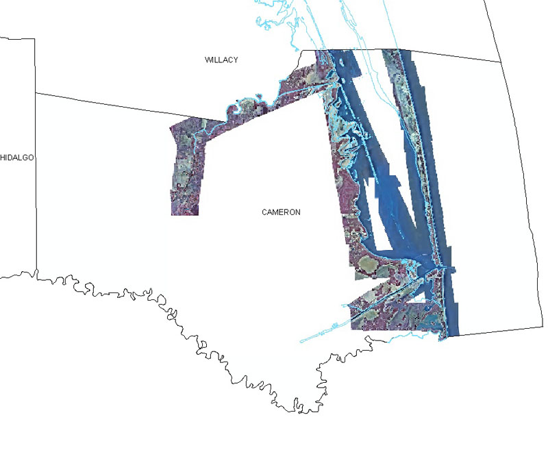
Cameron County 
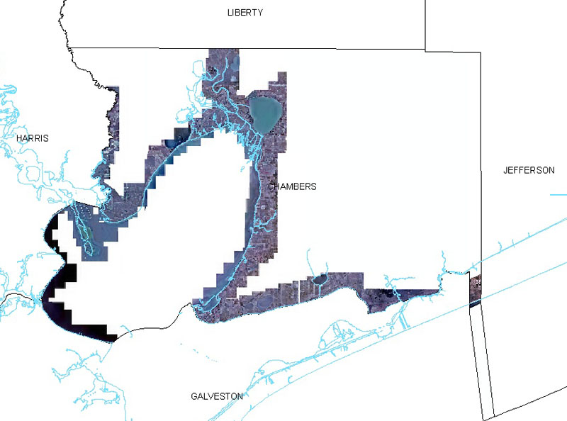
Chambers County 
Galveston County 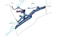

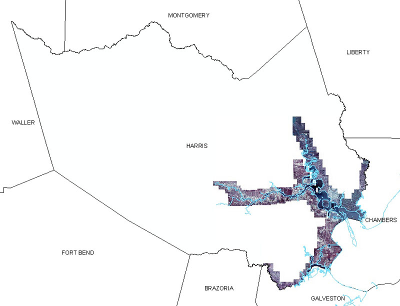
Harris County 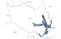
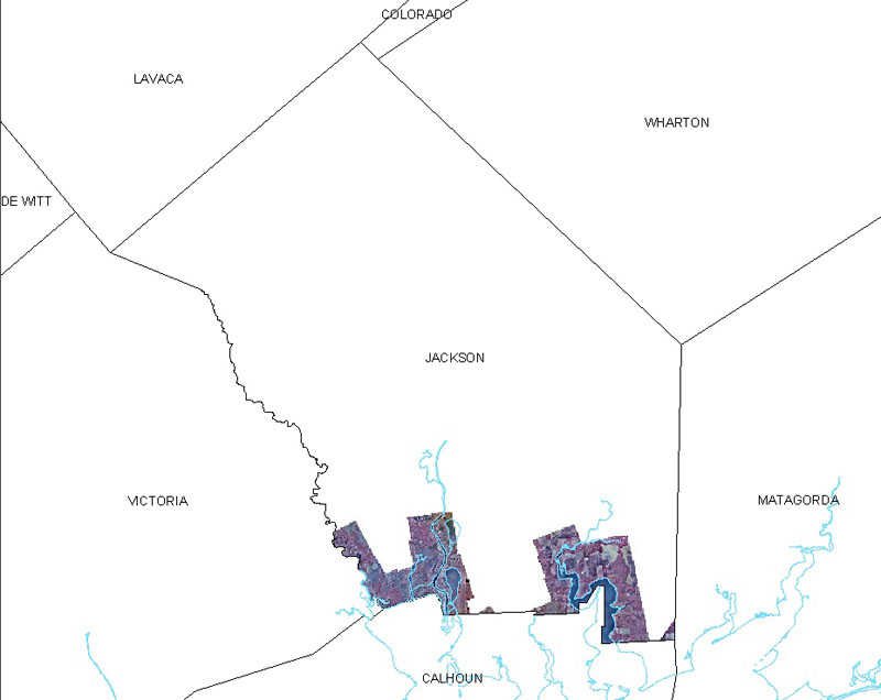
Jackson County 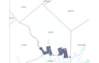
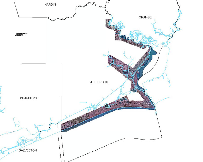
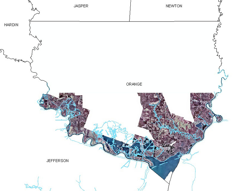
Jefferson County 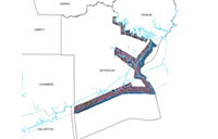
Liberty County 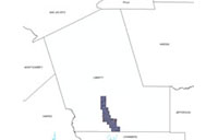

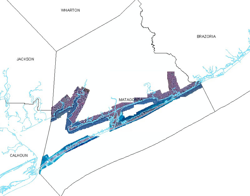
Matagorda County 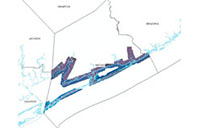
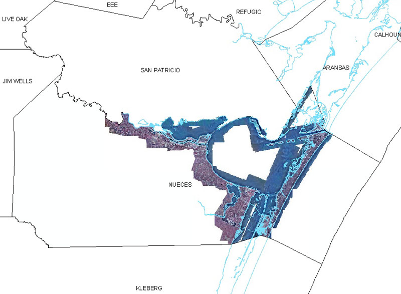
Nueces County 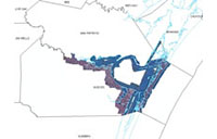
Orange County 
Refugio County 
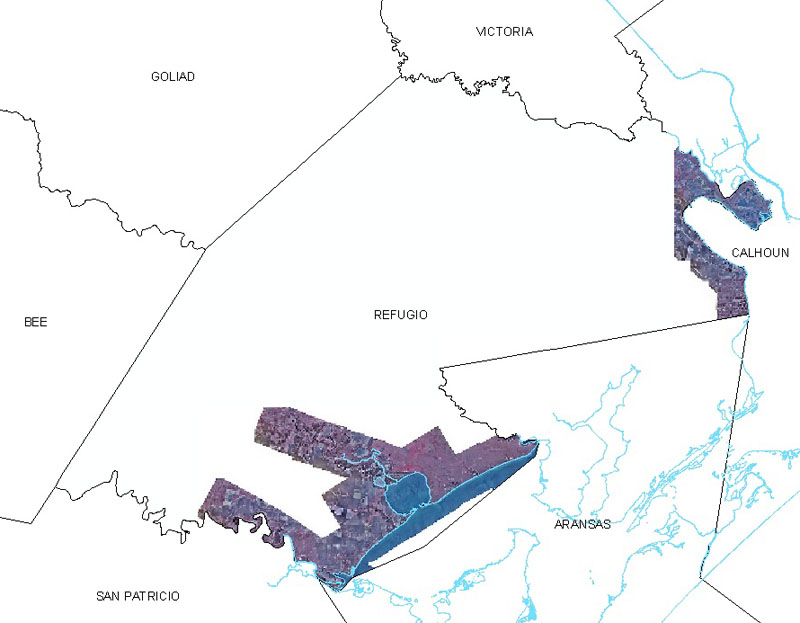
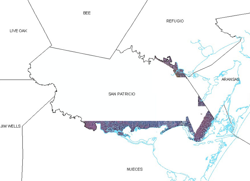
San Patricio County 
Victoria County 

Date:
January 27-February 9, 2002
Format:
georeferenced color infrared digital images, UTM NAD 83, Zone 15 (upper coast) and Zone 14 (lower coast), meters, MrSID, ECW (ER Mapper) compressed and geoTIFF LZW compressed
Resolution:
0.5 meters/pixel
Source:
Kucera International, Inc.