
Aerial Imagery & LiDAR Data > 2000 - 2009
Post-Ike December 2008 LiDAR Elevation Data
To request the high-resolution imagery, please send the flight date/name, and the list of your requested tiles, to the General Land Office Geospatial Team at Geospatial@glo.texas.gov or 512-463-4352.
The Texas General Land Office makes no representations or warranties regarding the accuracy or completeness of the information depicted on these images, or the data from which they were produced. These images ARE NOT suitable for navigational purposes and do not purport to depict or establish boundaries between private and public land.
Photo credit: Texas General Land Office.
Dates:
December 2008
Format:
ArcInfo ASCII Raster format & LAS point cloud files
Coordinate System:
UTM NAD 83, Zone 15
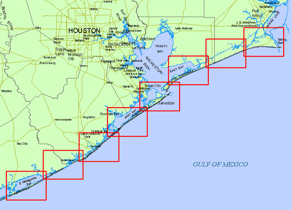
Locations:
Gulf Shoreline, from mouth of Colorado River to Sabine Pass
Resolution:
1 Meter Digital Elevation Model (DEM)
Source:
University of Texas, Bureau of Economic Geology