Step Two: Visual Site Assessment
The next step in developing a successful living shoreline project involves conducting a visual site assessment to evaluate the specific conditions on your property. A visual site assessment is crucial for determining which living shoreline option to pursue.
Completing the Texas General Land Office’s Visual Site Assessment Worksheet will give you a reference to consult when coming up with a plan and can also help you decide which elements to implement. The assessment factors you'll need to consider are explained below. The numbering in the site assessment worksheet corresponds with the section numbering below for your convenience.
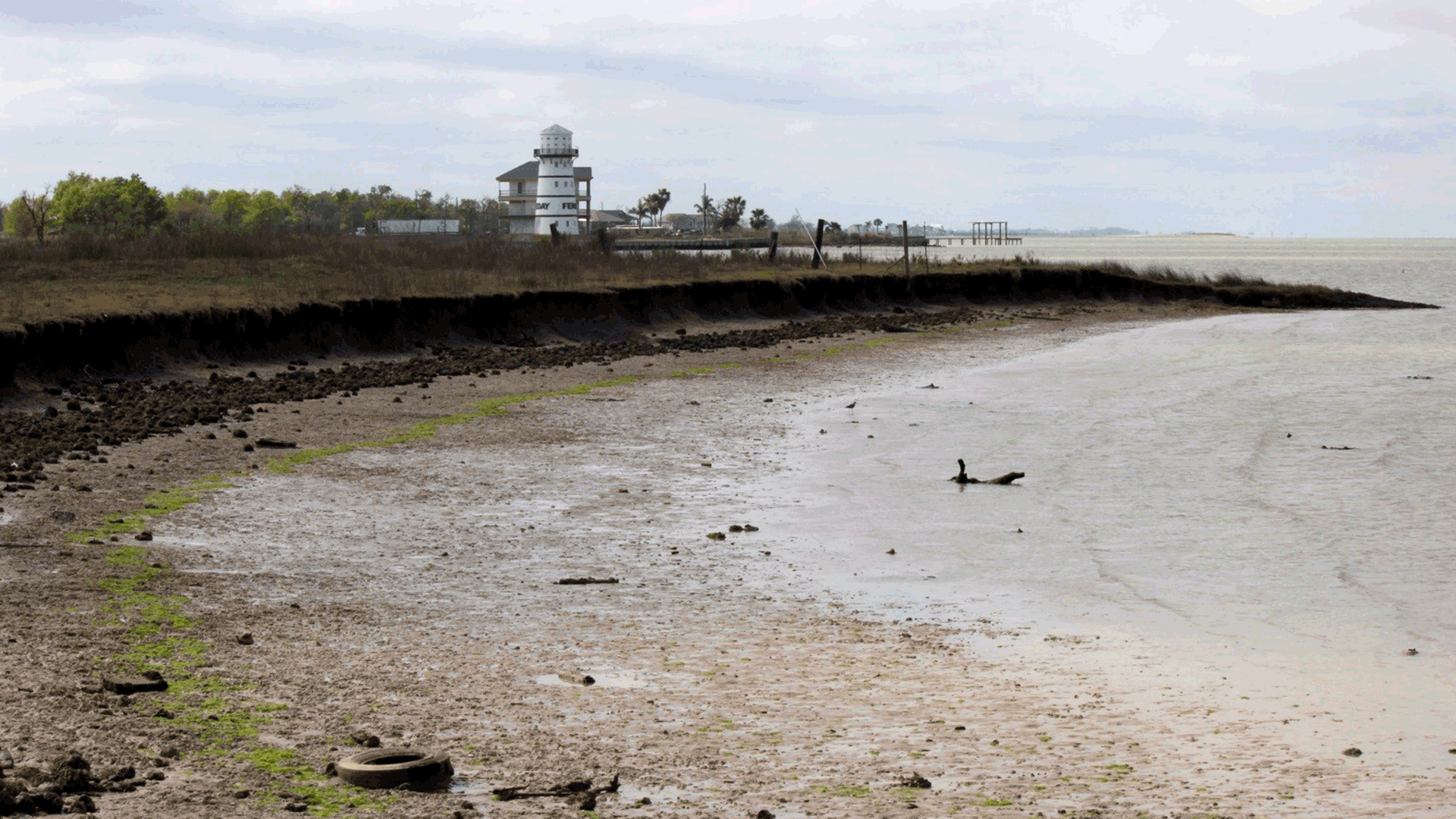
1. Type of Shoreline
Determining if your property is one of the following types of shorelines will help evaluate which living shoreline option is most practical.
- How wide is your shoreline? Is your property’s lot narrow or long?
- Is your shoreline a marsh, beach, tidal flat, or mud flat?
- Is your shoreline composed of sand or fragmented shells?
- Does your shoreline have a hard stabilization structure in place? For example, do you have a bulkhead on your property?
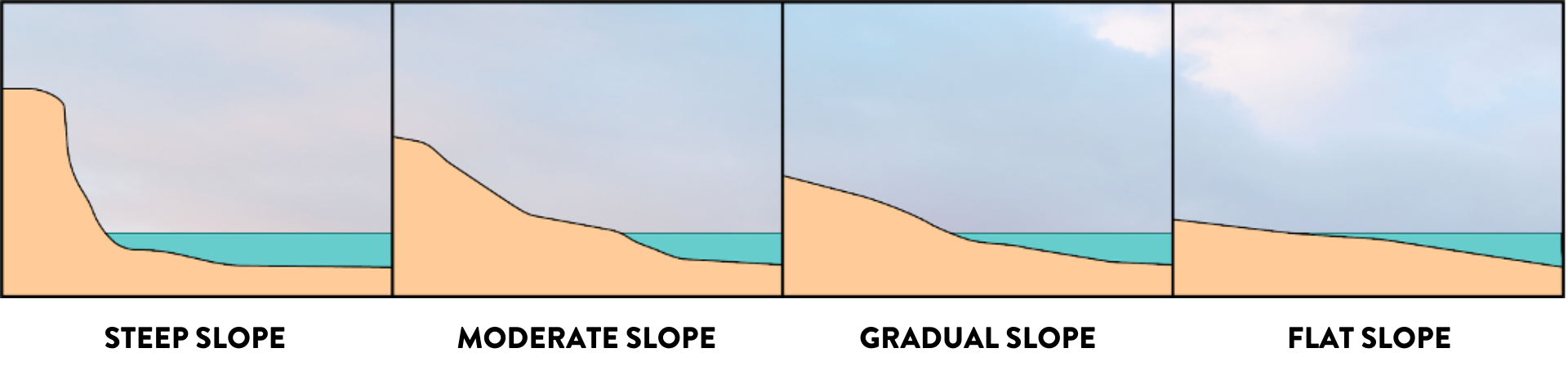
2. Slope
The grade or steepness of your shoreline is very important in selecting a living shoreline option. Flat or gradual sloping shorelines are best for marsh plantings, while steeper slopes might require a rock or structural alternative. Grading to flatten the land and prepare it for installation might be necessary if your property has a moderate to steep slope.
- Is the slope of your shoreline steep, gradual, moderate, or flat?
- Do you have a natural bluff shoreline?
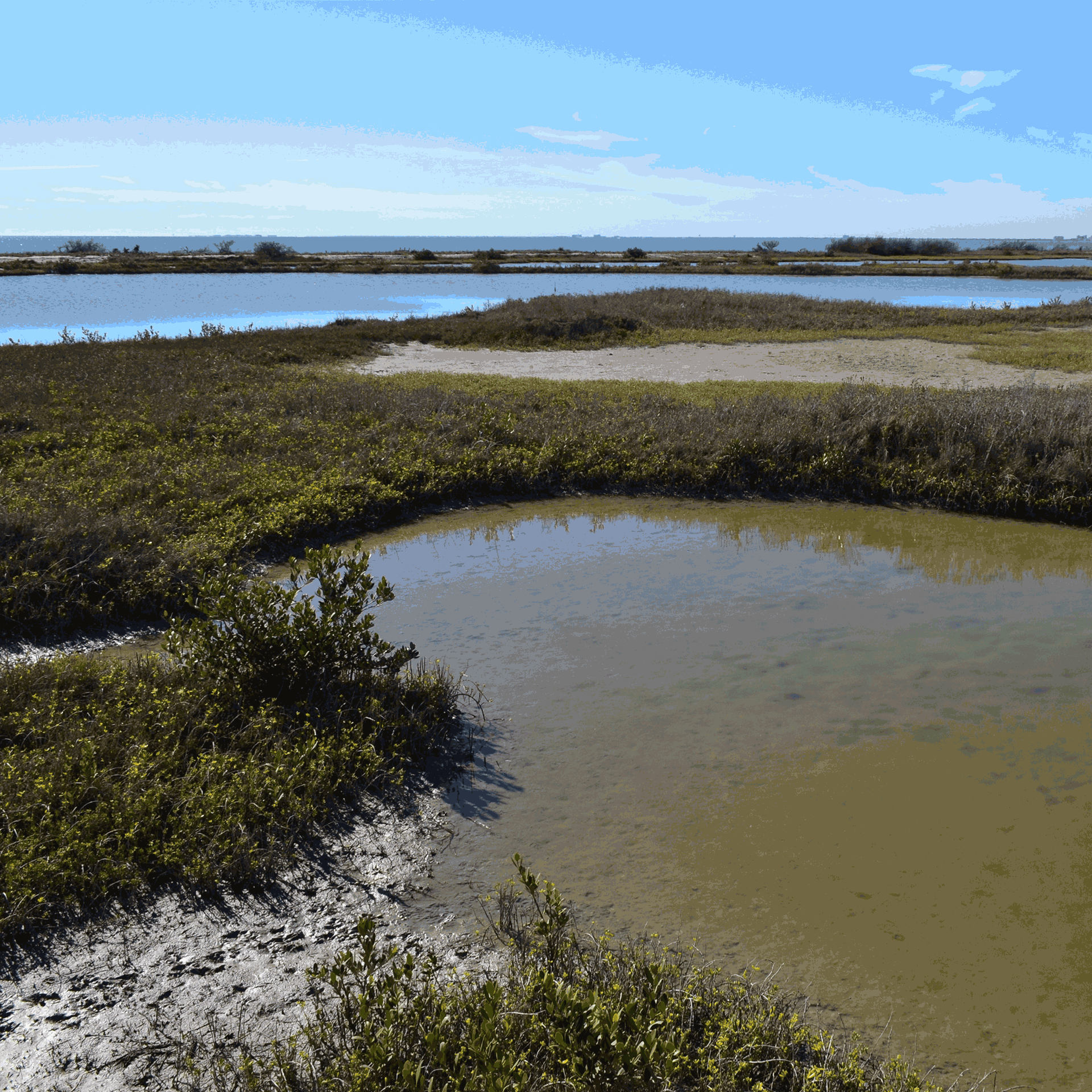
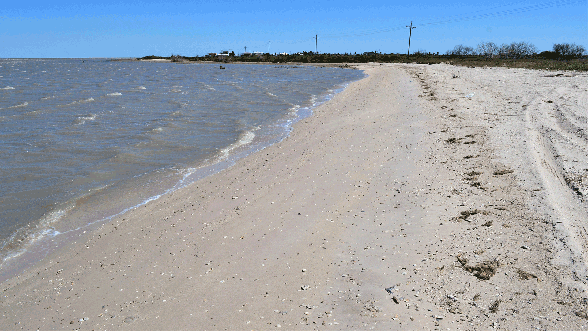
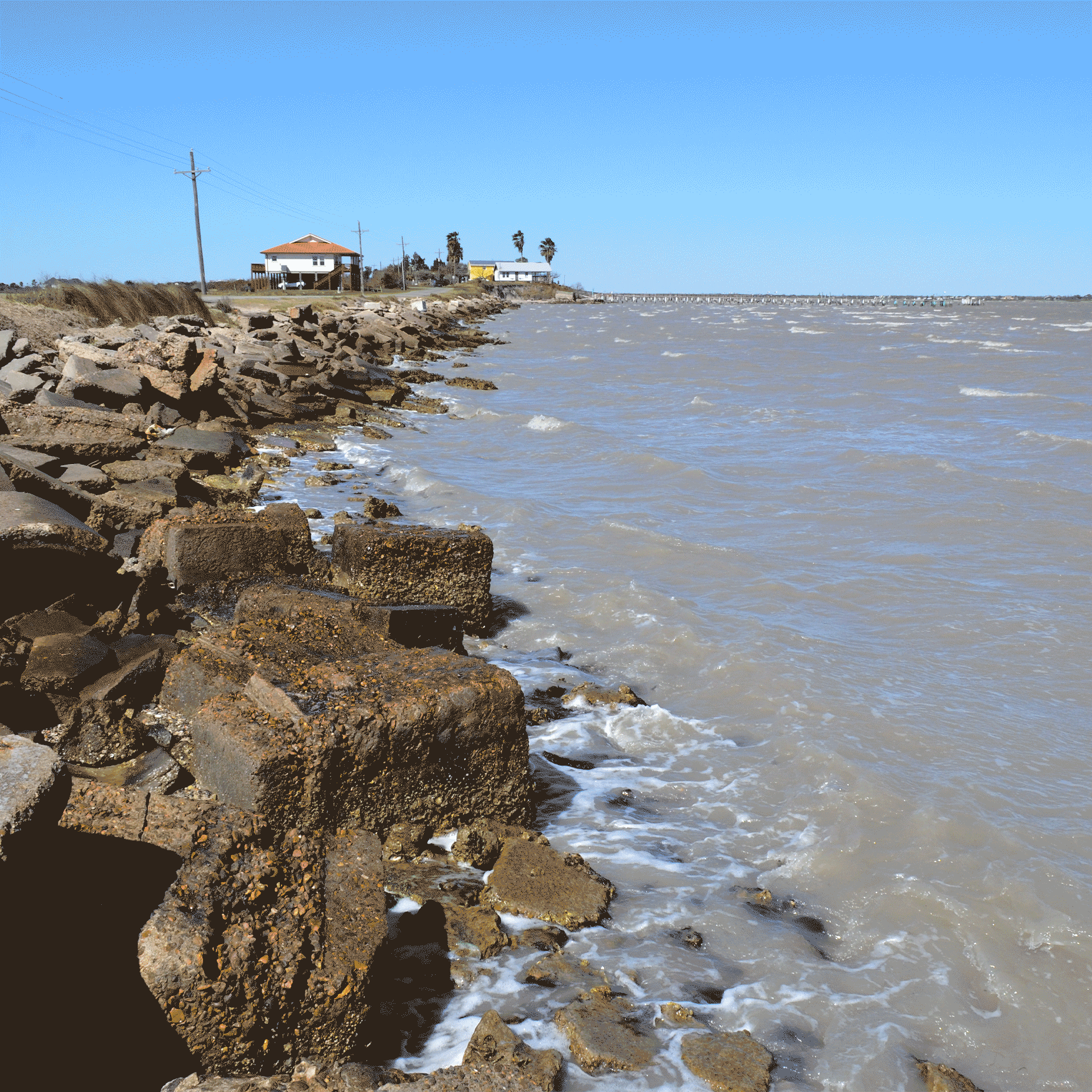
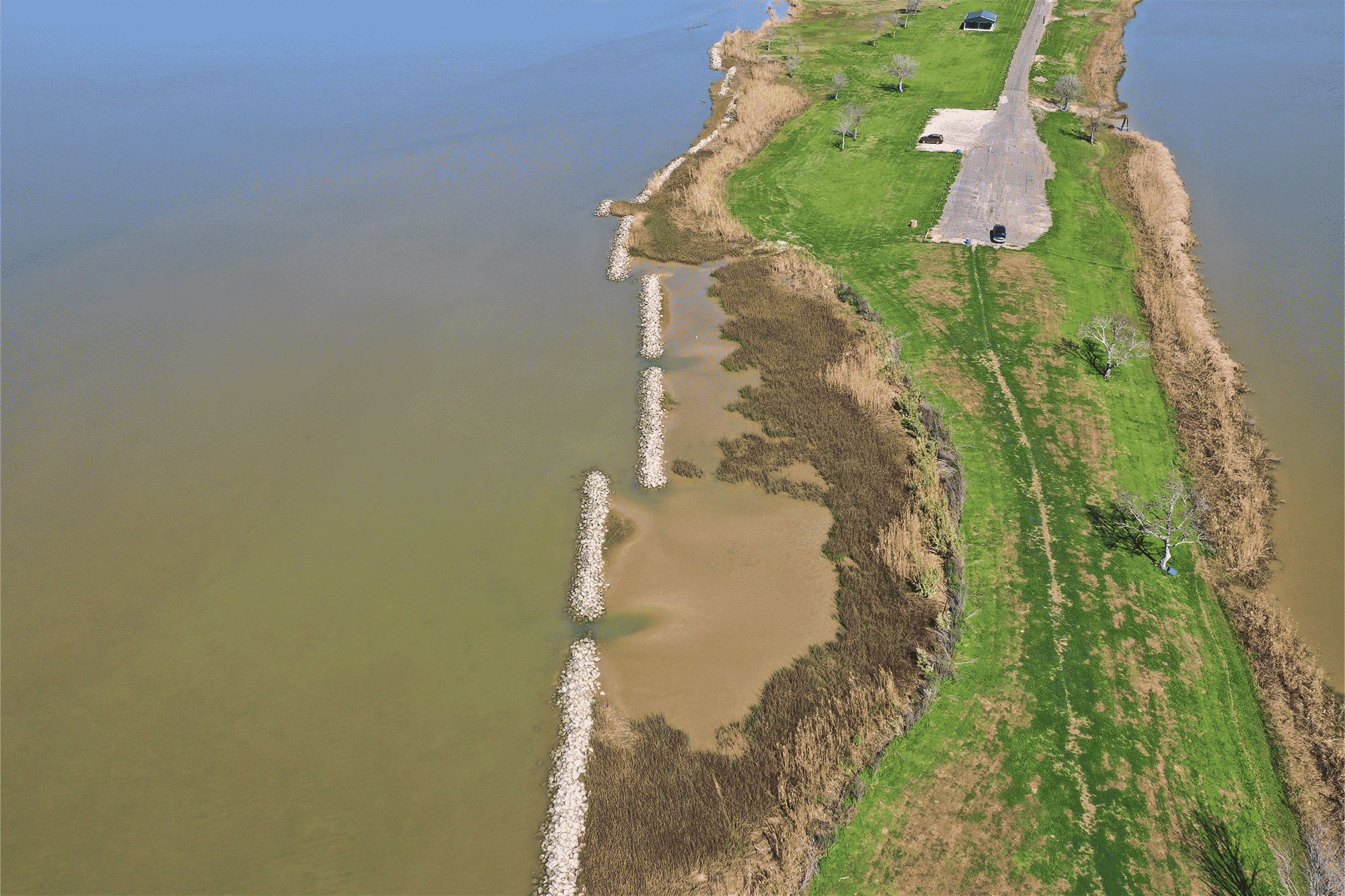
3. Erosion Rate
The rate of land loss, or erosion rate, is a key determinant in living shoreline site suitability. Sites with low erosion rates are generally more suitable.
- Does your property have a low rate of erosion? This would be true if your property has more erosion from sea level rise or subsidence over time.
- Does your property have a high rate of erosion? This would be true if your property has more erosion from high wave energy and high winds.
Shoreline with high erosion rate. Photo: Galveston Bay Foundation
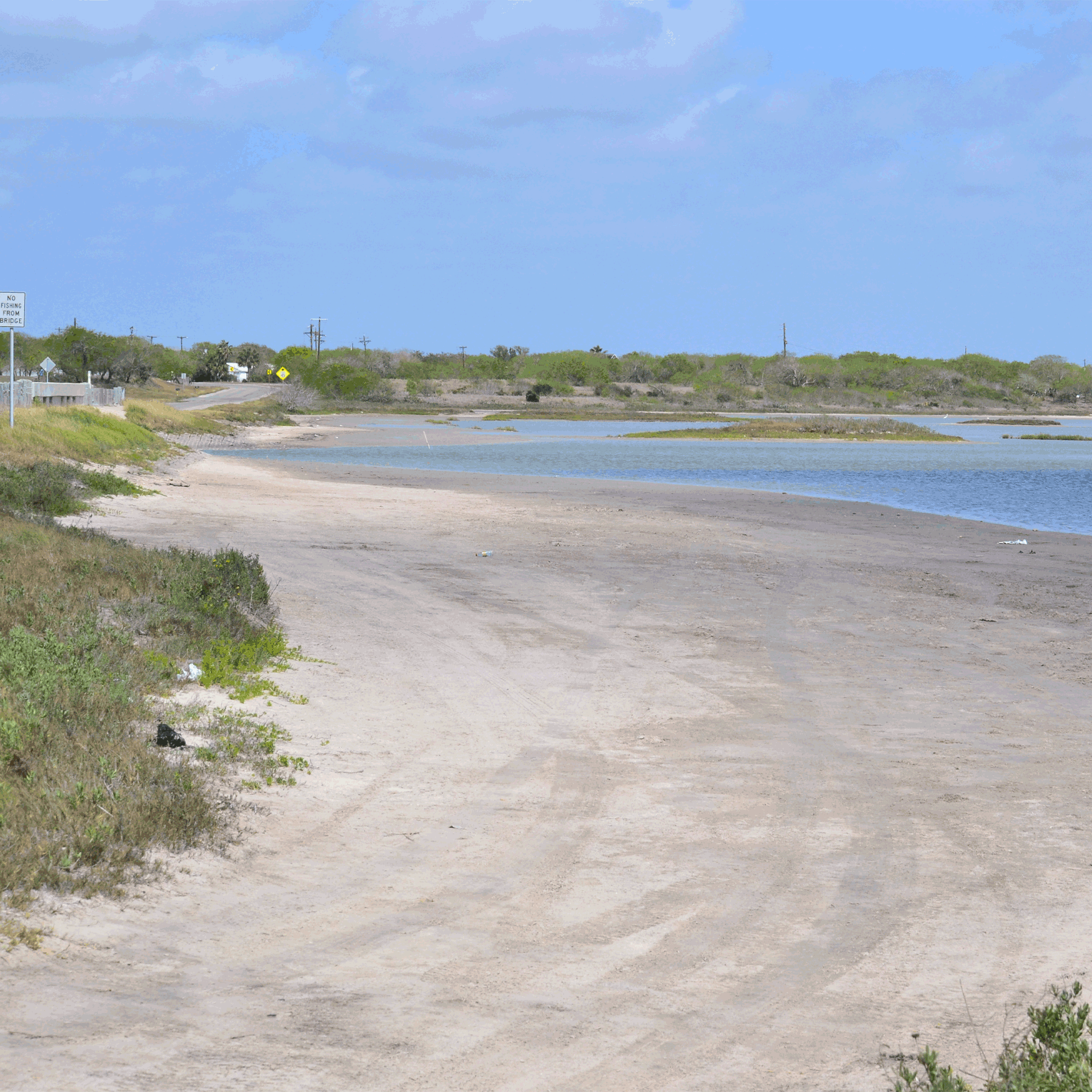
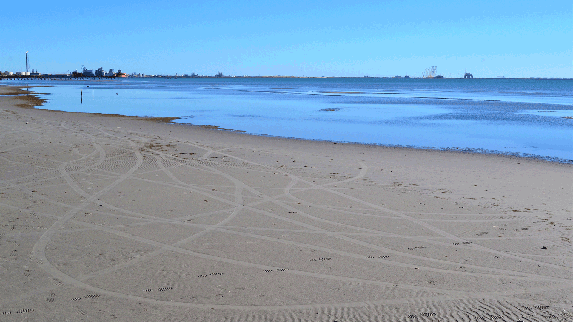
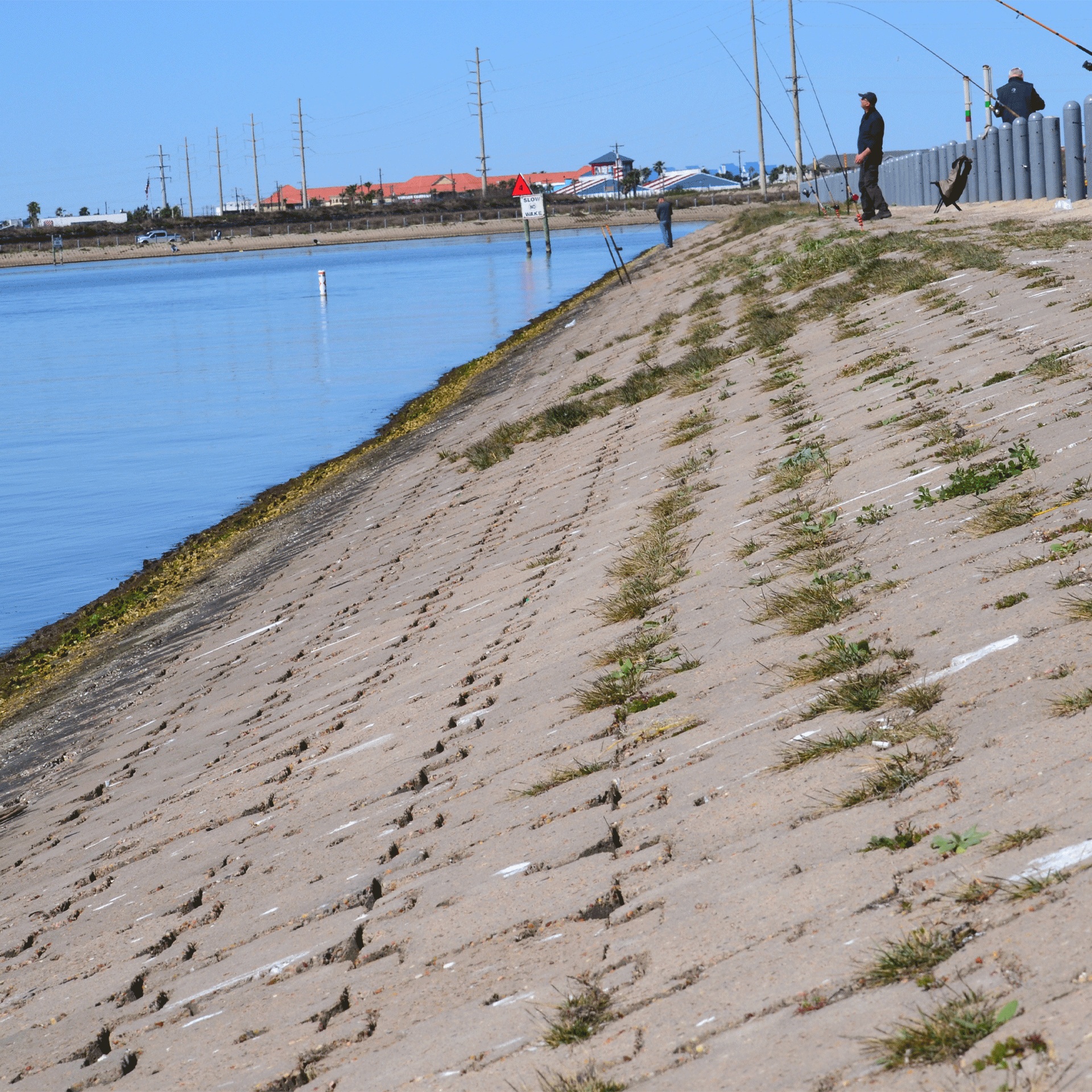
4. Wave Energy
Wave energy is a strong erosional force. Some wave energy is caused by natural forces like the lunar and wind-driven tides, and other times it’s caused by human activity such as boat wakes or scouring from adjacent hardened shorelines. While living shorelines typically perform better in low wave energy environments, projects in higher energy environments can still be constructed by incorporating nearshore breakwaters to reduce wave intensity.
- Does your property have low wave energy? For example, is it sheltered or far from boat traffic? Is it a mud or tidal flat? Is it a marsh?
- Does your property have moderate wave energy? Is there shell hash?
- Does your property have high wave energy? Does it border a shipping channel or have steep bluffs?
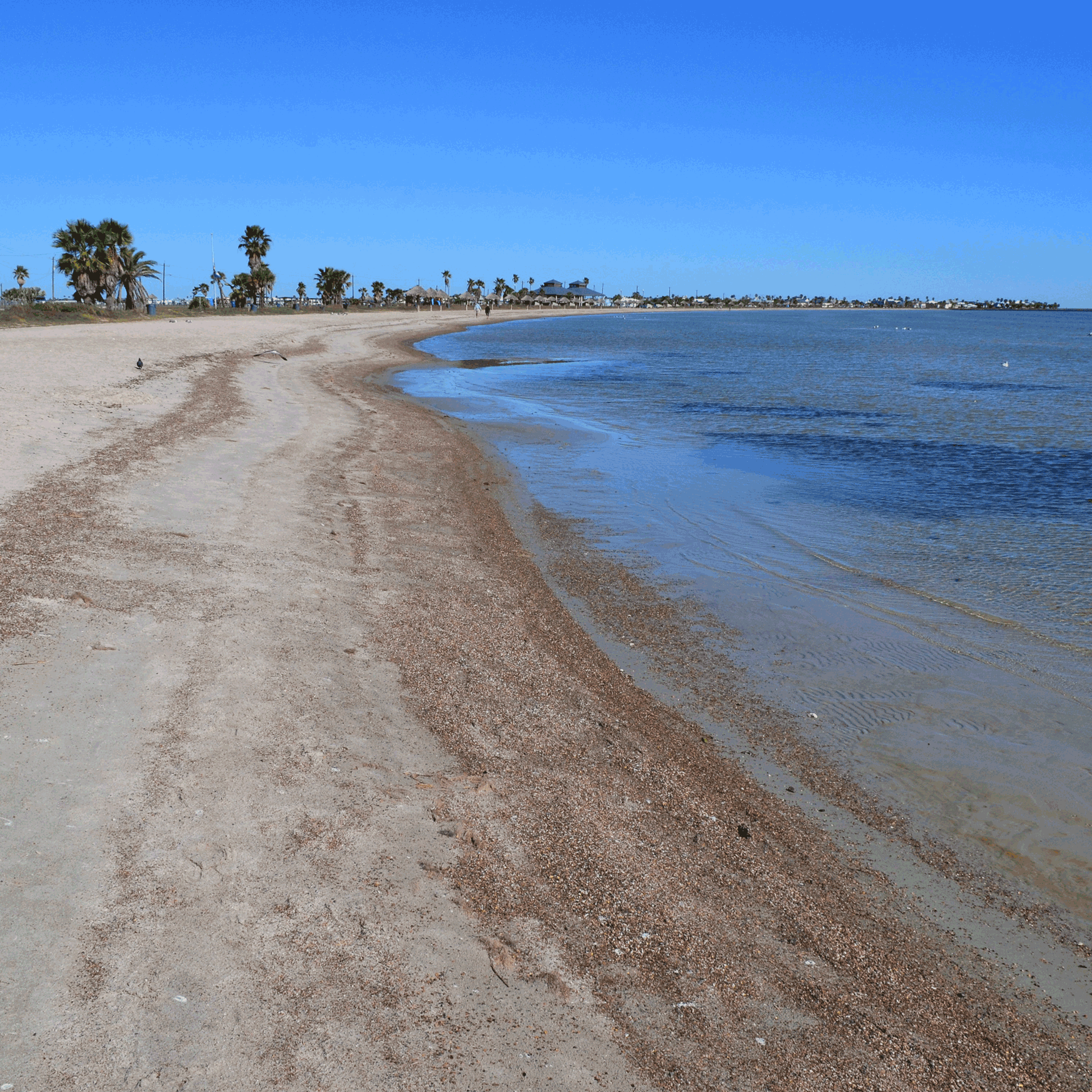
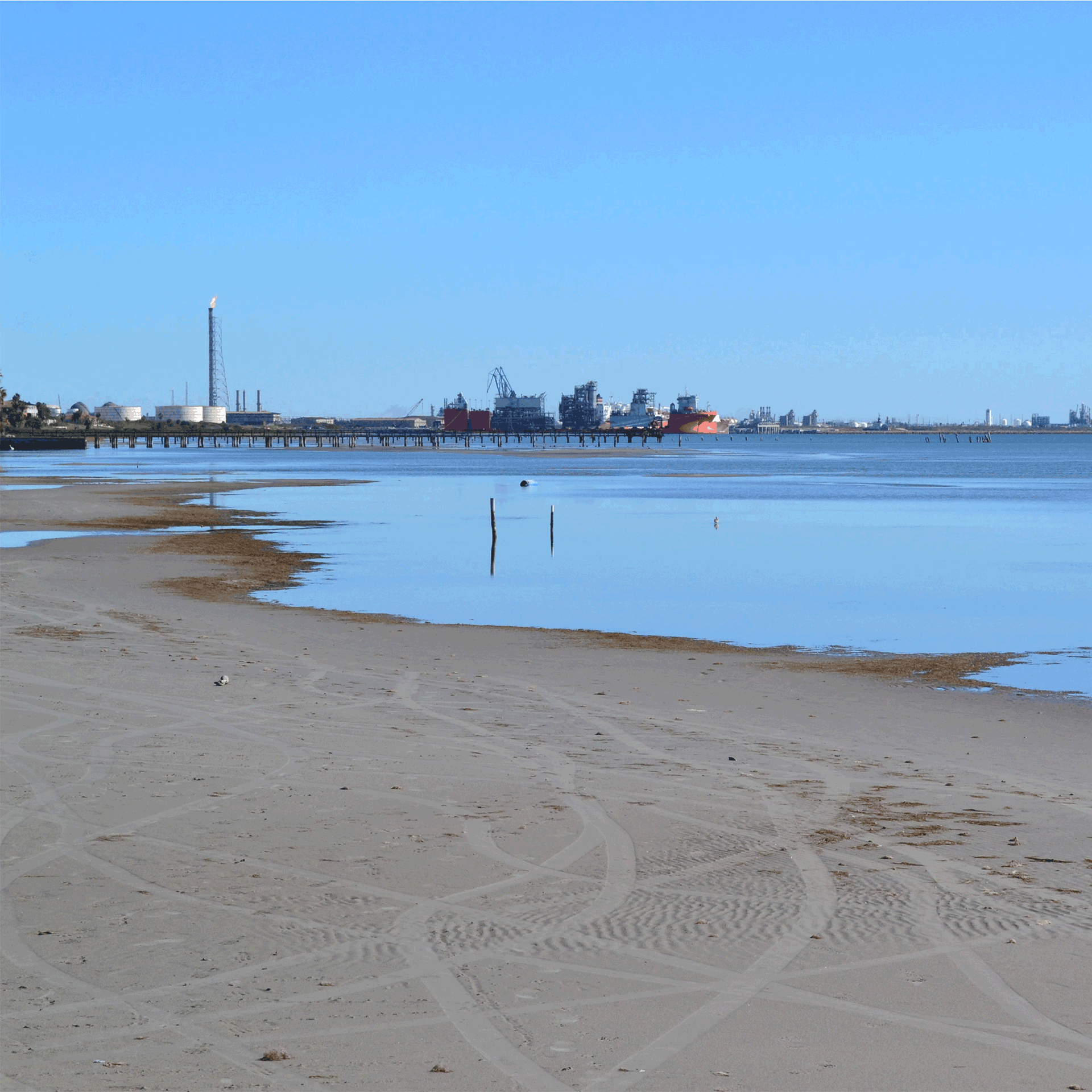
Low Wave Energy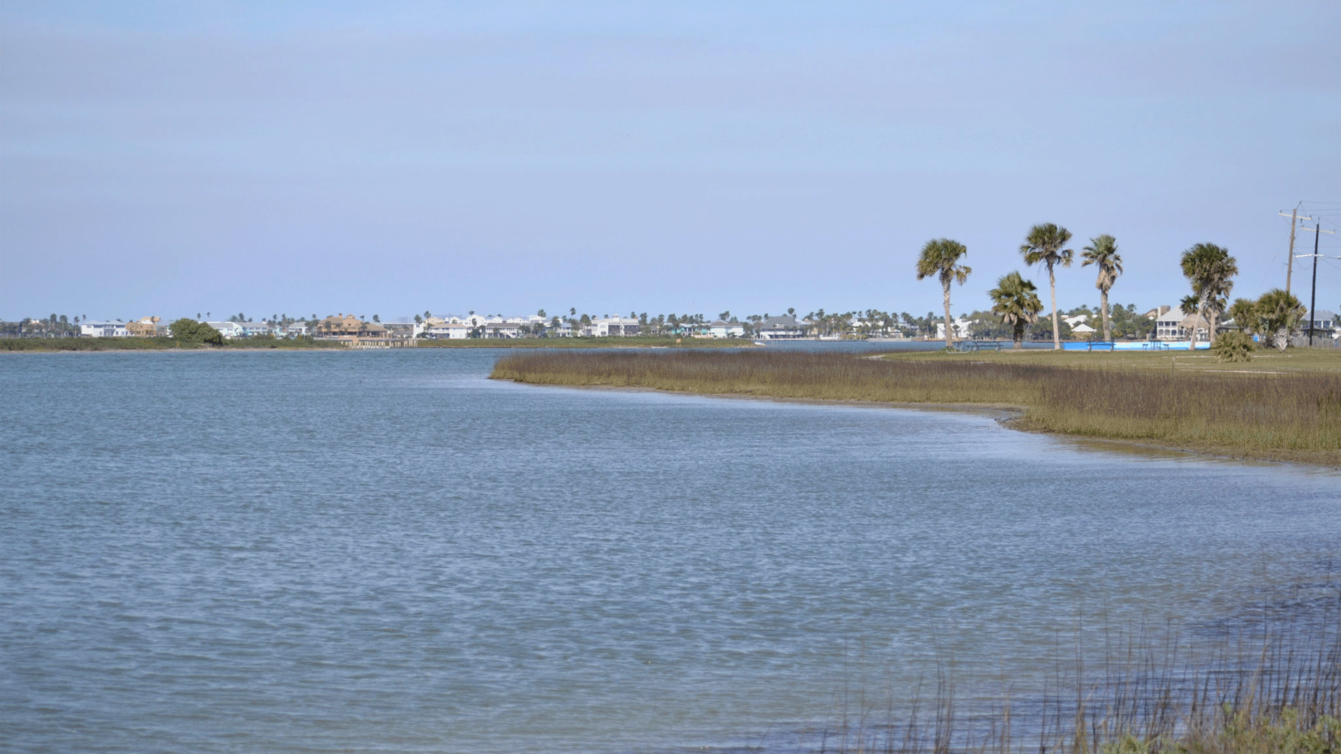 |
Moderate Wave Energy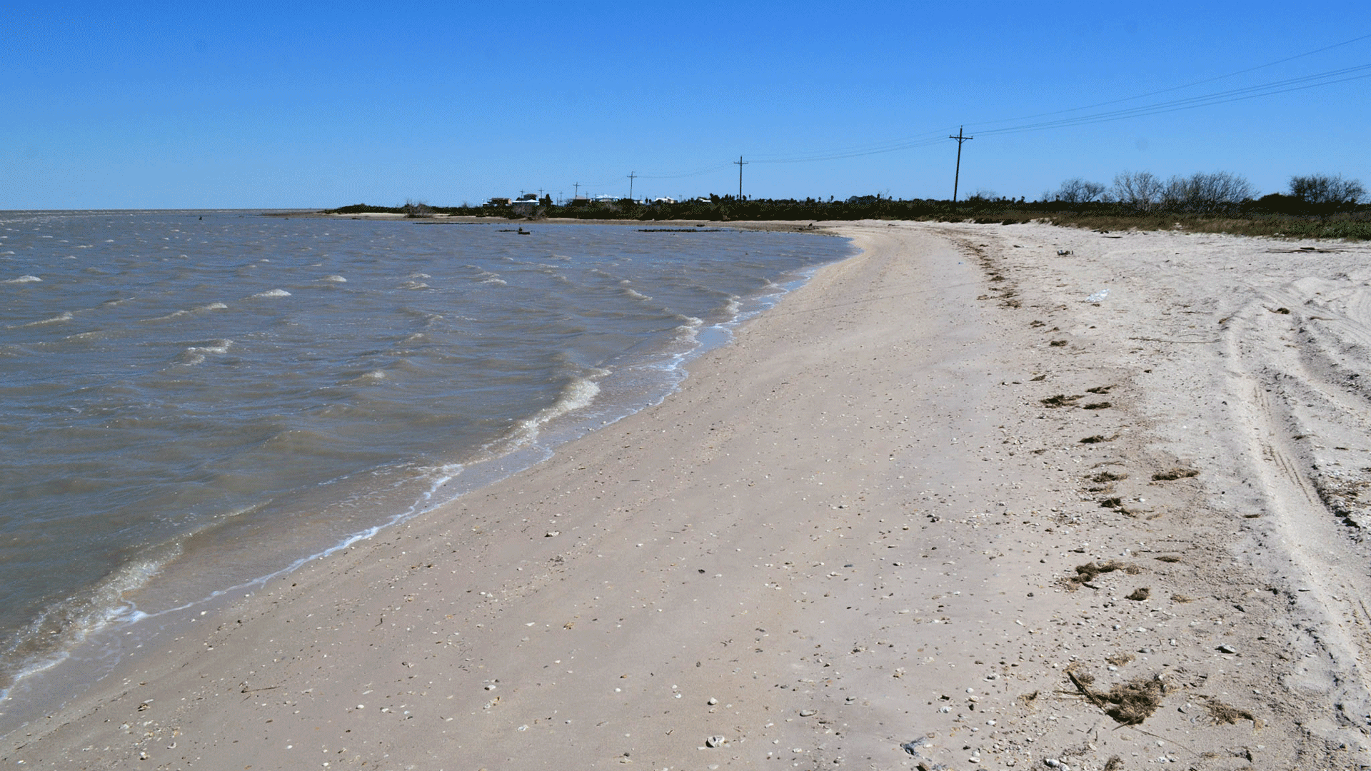 |
High Wave Energy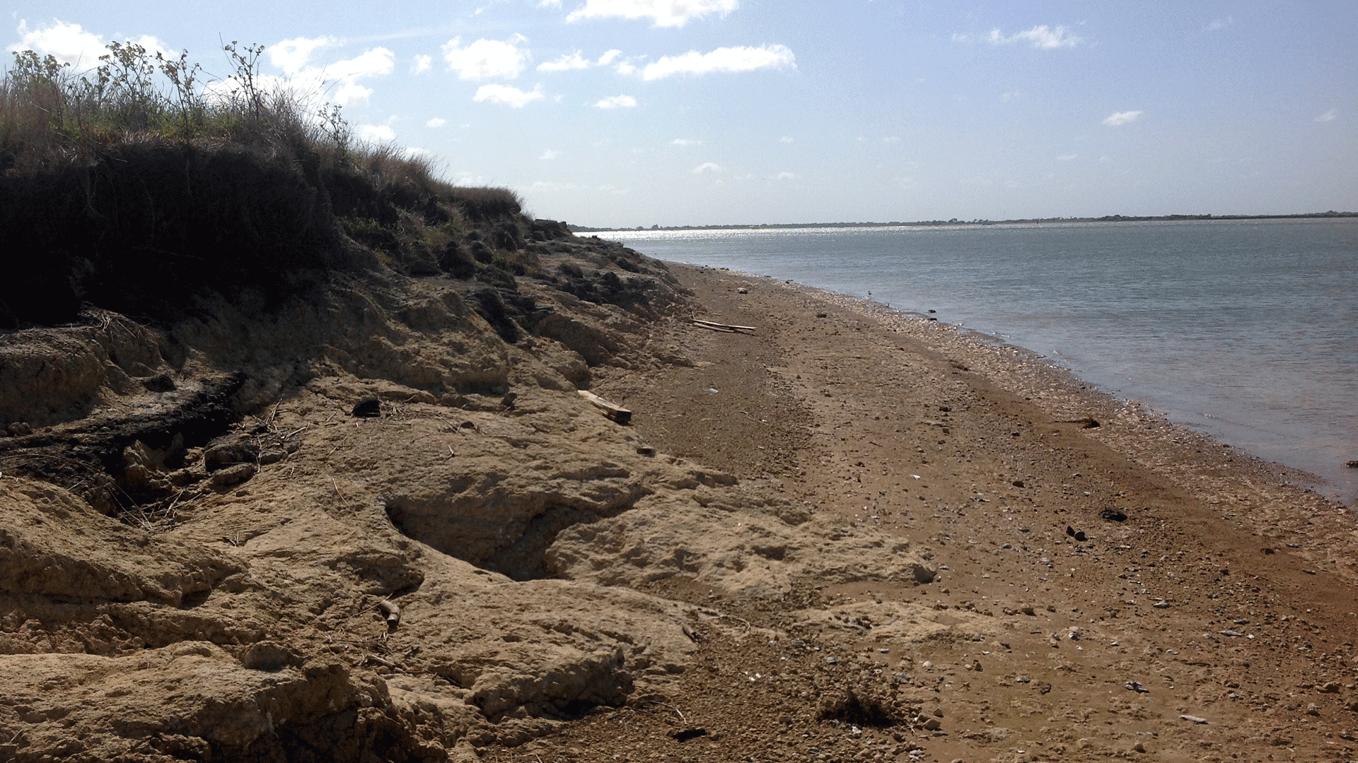 |
|---|
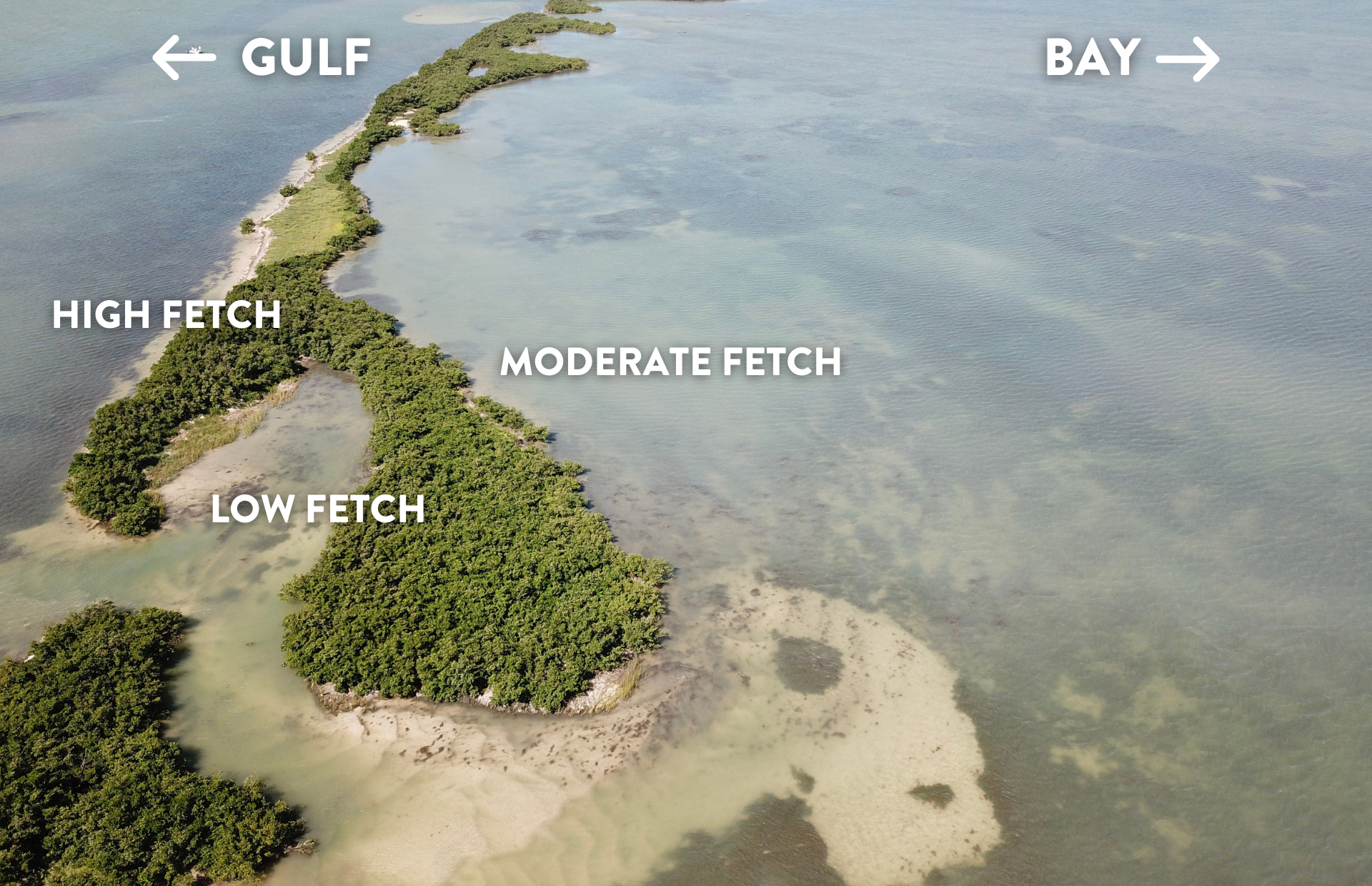
5. Fetch
Fetch is the distance over which the wave-generating wind blows. This has a direct effect on the size and energy of waves impacting your shoreline.
- Is there a long fetch across open water leading to your shoreline which creates more wave energy (typically greater than 0.5 miles)?
- Is there a shorter fetch which reduces the amount of wave energy impacting your shoreline (less than 0.5 miles)?
6. Water Depth
This refers to the depth of the water immediately in front of your shoreline. Water depth will impact your ability to plant native vegetation and can dictate whether a hybrid or structural component is necessary.
- Is your property adjacent to shallow water (less than 20 ft) or deep water (more than 20 ft)?
7. Salinity
Freshwater mixing with gulf water produces a range in salinity from low salinity near the mouths of rivers to higher salinity near the barrier islands. The salinity of the water at your location will determine which vegetation will grow and thrive. In addition, if oysters will be part of your design, the salinity of the water at your site will be an important factor in determining their success.
- Is the water at your site saltwater, brackish (near a spot where freshwater and saltwater mix), or freshwater?
8. Neighboring Property Conditions
What kind of conditions are present on your neighbor’s property? This can have an impact on the living shoreline option you choose. For example, a bulkhead on your neighbor’s property could be deflecting wave energy and sediment onto your property, so you may need to adjust your design accordingly.
- Do the properties adjacent to yours have hard structures or a natural shoreline?
- What category of erosion are the properties experiencing: low, medium, or high?
- Do you know if your neighbors are interested in using living shorelines?
9. Personal Preference
It is important to think about what you want your completed project to look like and any amenities you would like it to provide. You may want to think about factors such as:
- Appearance: Do you prefer more green (natural vegetation) or gray (stone, breakwater) structures?
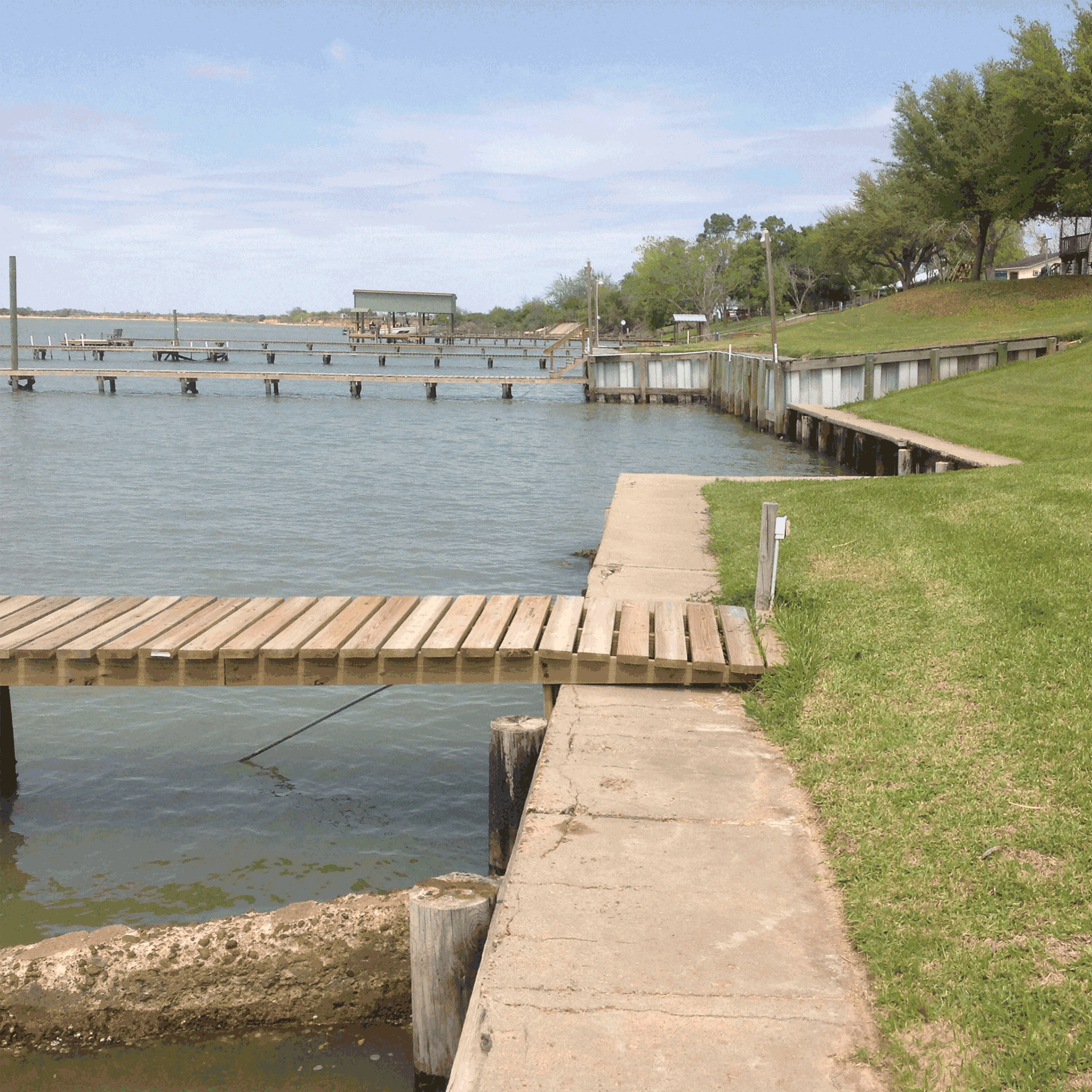
- Water Access: Do you want to be able to access the water from your land by pier, boat, or foot?
- Existing Structures: Do you have structures on your property such as a pier, dock, or boat ramp?
Keep Exploring
A comprehensive guide to designing, permitting, and implementing a living shoreline project along the Texas coast.
Learn More
For more information about conducting a visual site assessment, check out this helpful overview created by the Texas General Land Office.
Learn More
Not sure what a term means? We’ve got you covered! Visit our glossary for an extensive list of commonly used terms in coastal management and living shoreline construction.
Learn More