


Contact Us
If you have a question about a particular program, find the right contact in our GLO Agency Directory.
GLO AGENCY DIRECTORY

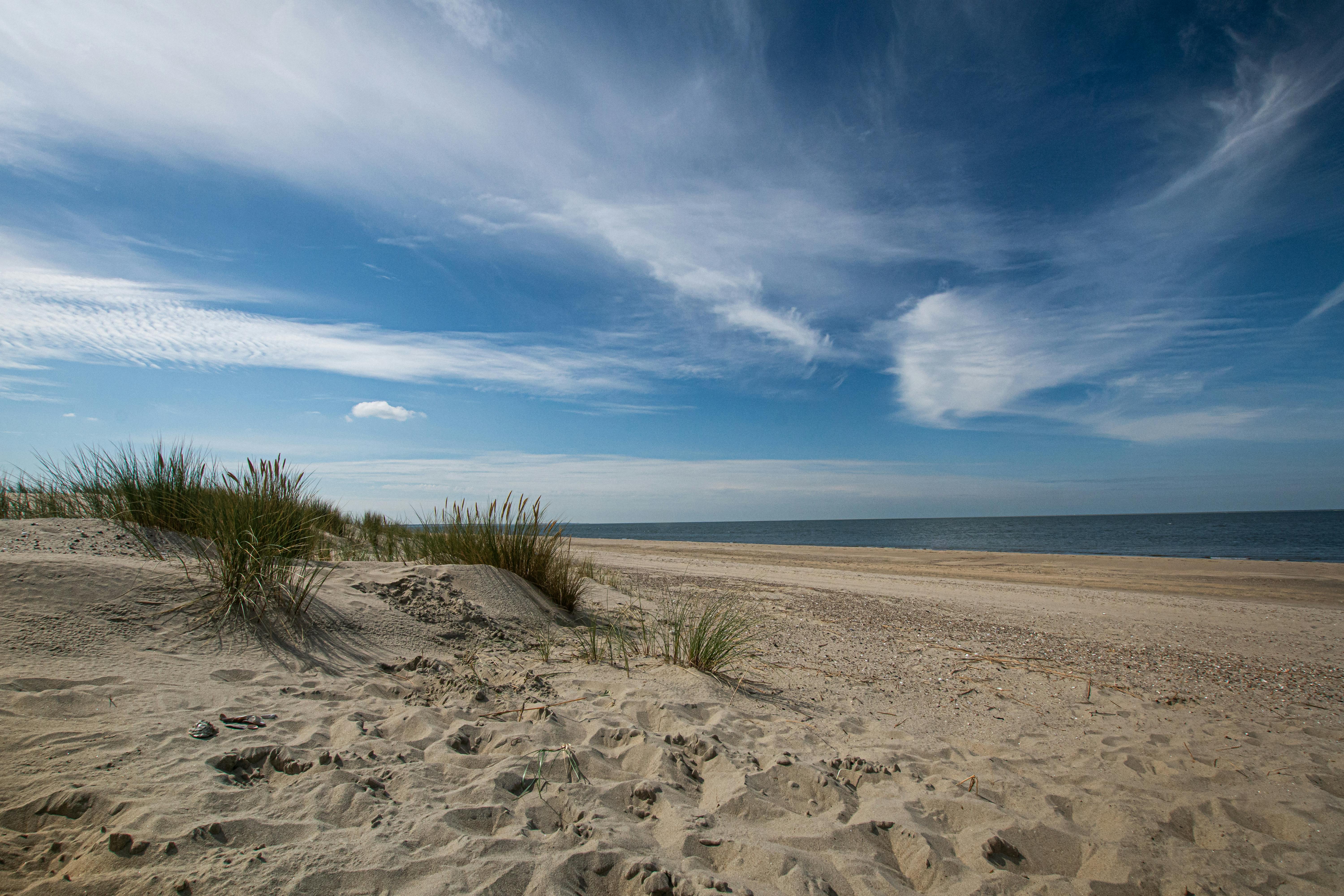



The applicant proposes to modify the existing permit to include a new upland dredge management placement area (DMPA). In addition, the applicant requests a 10-year maintenance dredging permit.
Coastal Boundary Survey dated August 16, 2023, Revised September 30, 2026, delineating the littoral boundary of Trinity Bay Adjacent to the Mathews, Bryan, Franklin, Casey & Dick Surveys in Chambers County, in connection with CEPRA Project Number 1676. Centroid coordinates 29.592670°, -94.725785°, WGS84. A copy of the survey recorded in Book 4, Page 217, of the County Surveyors Records of Chambers County, Texas.
The applicant is requesting to modify Department of the Army (DA) Permit SWG-2011-00162. The modification includes a proposed 5-year extension of time for previously authorized work that has not been completed and the addition of new work. Proposed new work is associated with construction of an LNG bunkering and lay berth facility, construction of Cruise Terminal 14, and modifications to Pier 18 and Pier 21 Marina. The applicant is also requesting the continuation of maintenance dredging. The project is intended to provide ongoing improvements for Port of Galveston facilities, including activities necessary to increase cruise terminal capacity and expand shipyard facilities.
If you have a question about a particular program, find the right contact in our GLO Agency Directory.
GLO AGENCY DIRECTORY