






October 12, 2026
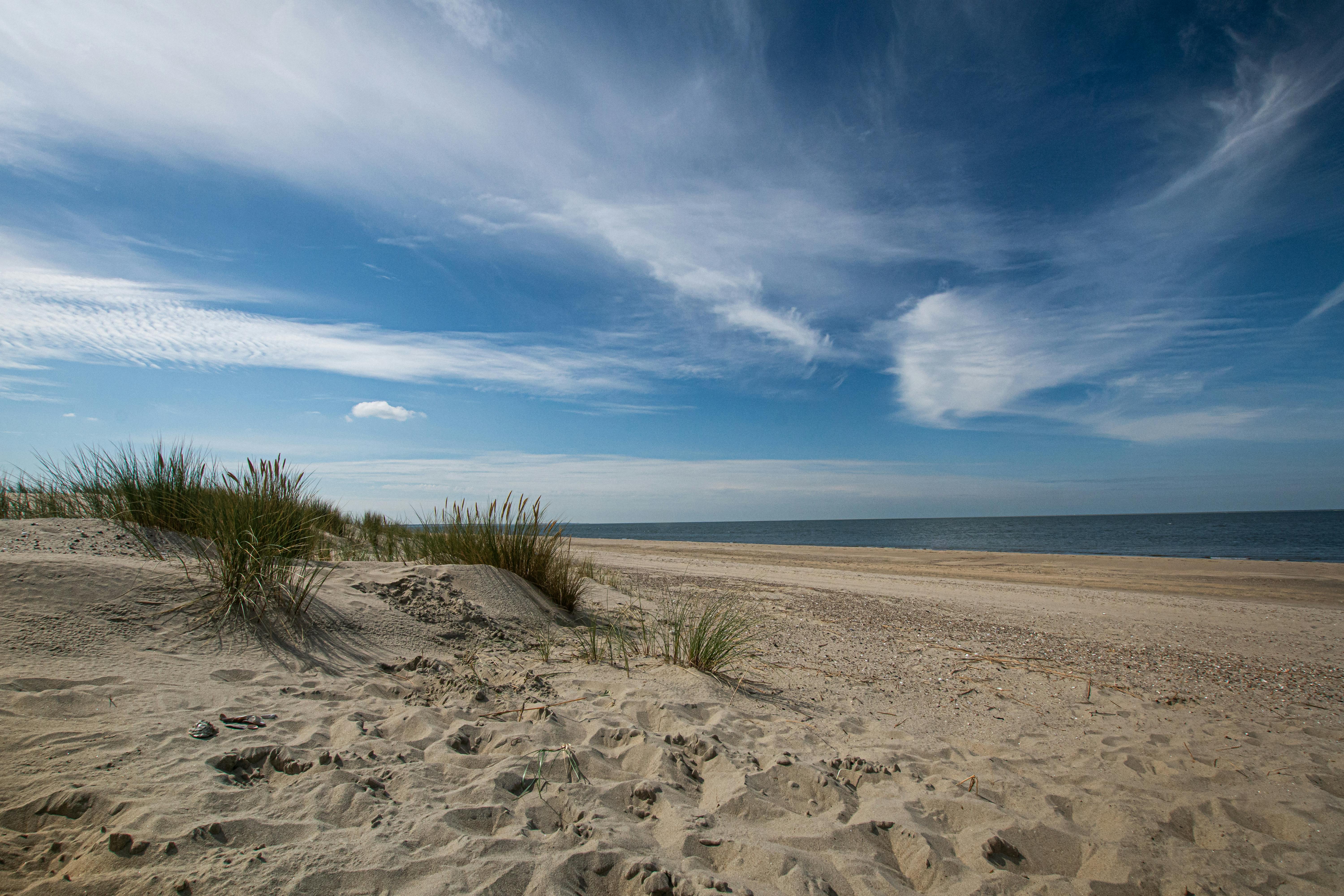
COASTAL BOUNDARY SURVEY - Indian Point, Corpus Christi Bay & Nueces Bay, San Patricio County - Blaskey
Description: Coastal Boundary Survey dated August 14, 2026, delineating the littoral boundary of the north shore of Corpus Christi Bay, State Submerged Tract 41, and Nueces Bay, State Submerged Tract 753, and the Cyrus W. Egery Survey, A-111, San Patricio County, in connection with CEPRA Project No. 1651. Centroid coordinates 27.852258°N, 97.356459°W, WGS84. A copy of the survey recorded in the Records of the San Patricio County Surveyor on September 17, 2026. Read More
October 12, 2026
COASTAL BOUNDARY SURVEY - Gangs Bayou, Galveston West Bay, Galveston County - Blaskey
Description: Coastal Boundary Survey dated July 27, 2026, delineating the littoral boundary of the Eastern Shore of Gangs Bayou, being part of Galveston West Bay, State Submerged Tract 77, and the Edward Hall and Levi Jones Survey, Abstract No. 121, Galveston County, in connection with USACE Permit No. SWG-2023-00293 and GLO No. CL20260017. Centroid coordinates N29.251399°, W94.908507°, WGS84. A copy of the survey recorded in Document No. SL2026000005, State Land Records of Galveston County. Read More
October 12, 2026
COASTAL BOUNDARY SURVEY - Ayers Bay
Description:Coastal Boundary Survey dated June 26, 2026, delineating the littoral boundary of the James Power & James W. Hewetson Survey, A-30 Calhoun County and A-381 Aransas County, on the southerly bank of Ayers Bay in connection with SL20260028. Centroid coordinates N28.167761°, W96.819182°, WGS84. A copy of the survey recorded in Document No. 2026-02809, Official Public Records of Calhoun County, Texas and Document No. 419032, Official Public Records of Aransas County, Texas. Read More
Contact Us
If you have a question about a particular program, find the right contact in our GLO Agency Directory.
GLO AGENCY DIRECTORY