Glossary
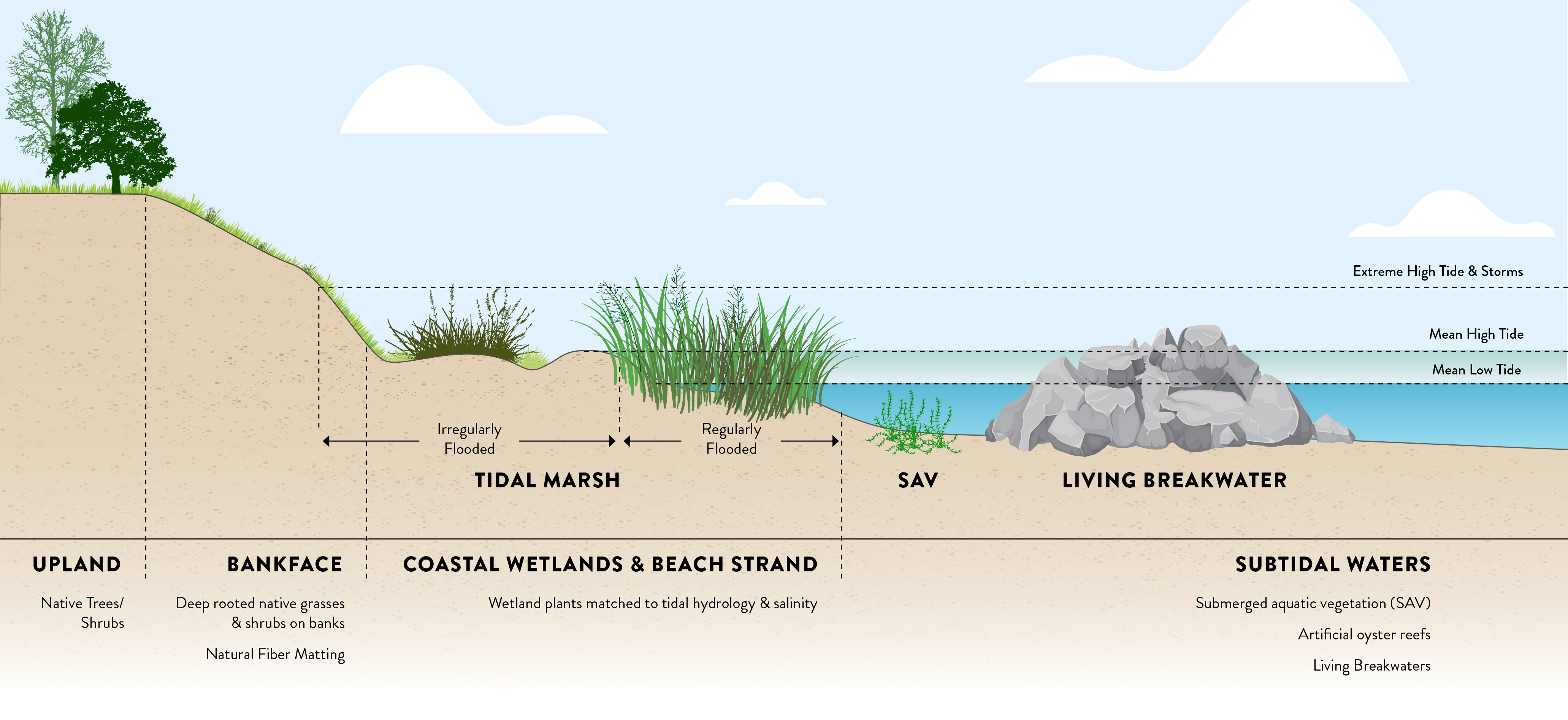
- Armoring: Using physical structures to protect shorelines from coastal erosion; examples include seawalls and bulkheads.
- Articulated Mat: Interlocking concrete blocks that hug the shoreline; an alternative to riprap, articulated mat also breaks up wave energy at the shoreline. Articulated mat comes in different configurations depending on the type.
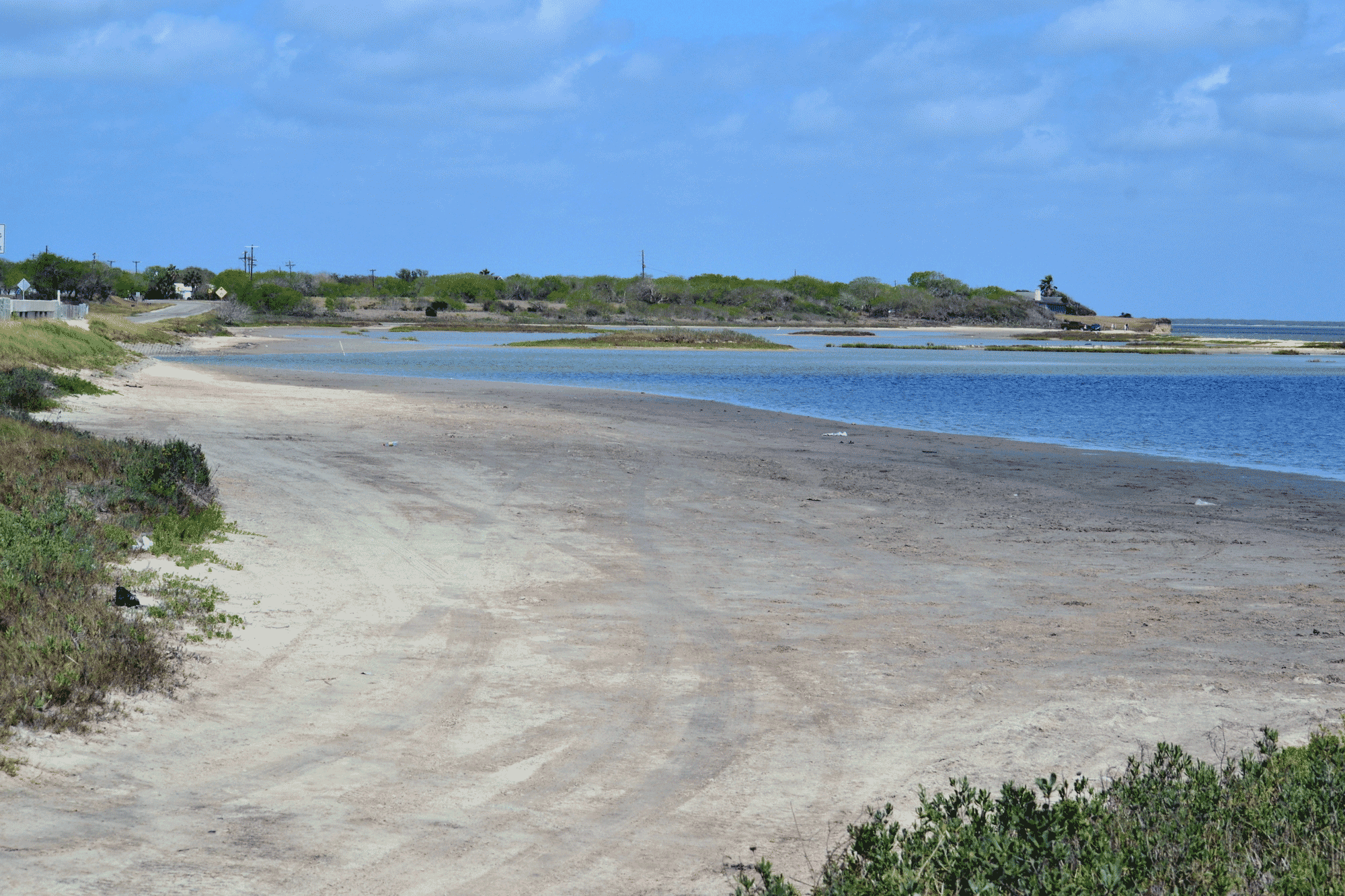
- Beach: Shoreline type dominated by loose, unconsolidated sand.
- Beach Nourishment: Placement of good-quality sand along a beach shoreline to increase the beach width and raise the elevation of the nearshore area.
- Brackish: Water that is slightly salty; typically present in estuaries where river water and seawater mix.
- Breakwater: Structures placed in the water, away from the shoreline but running alongside it, that break up wave energy away from the shore. This creates a calmer area between the breakwater and shoreline. Structures may include rock rubble, concrete, or oyster recruitment structures.
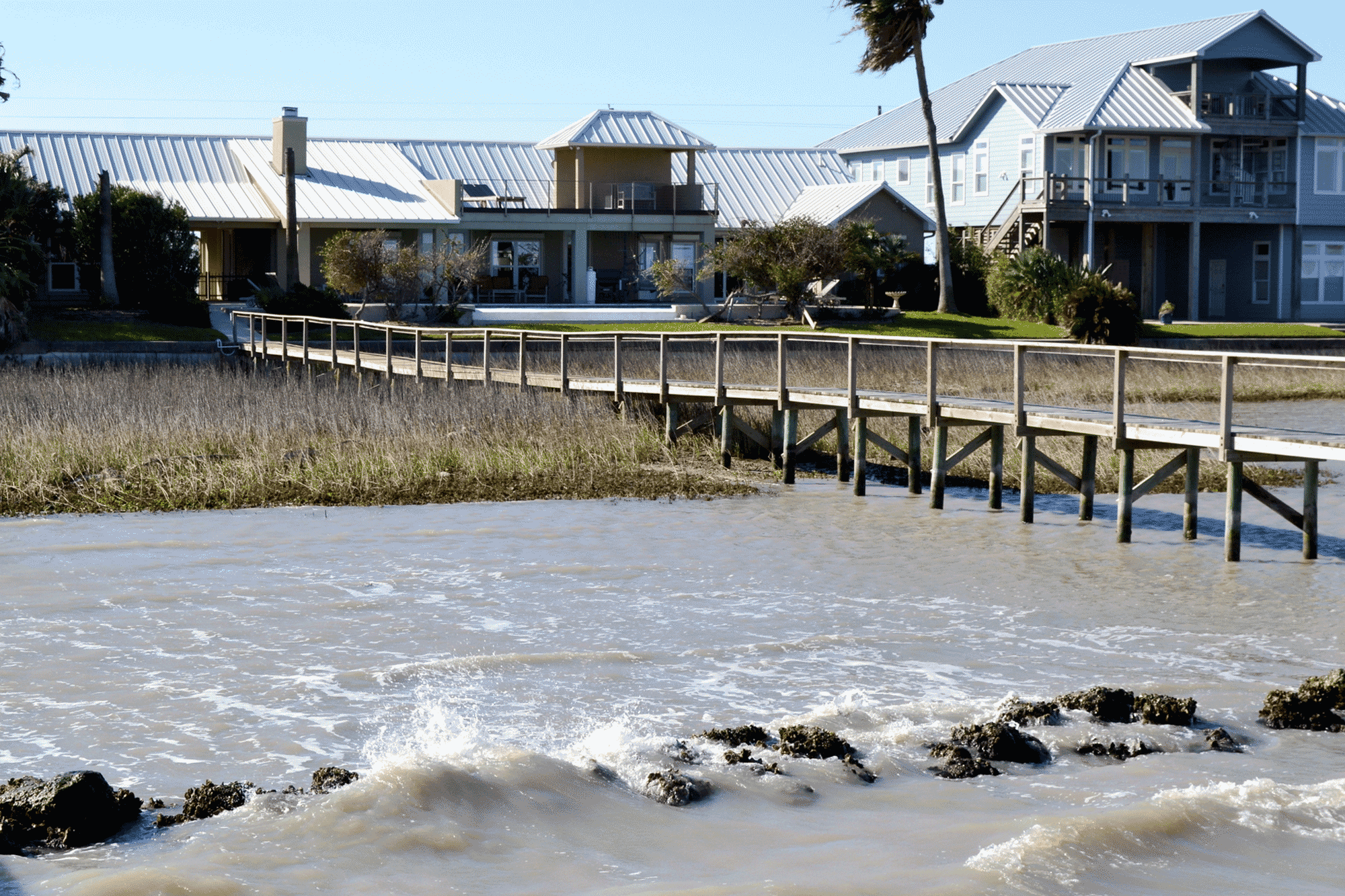
- Bulkhead: A “wall” along the shore that protects the shoreline by making a hard barrier that waves hit and bounce back from.
- Ecosystem Functions: The capacity of natural processes and components to provide goods and services that satisfy human needs, either directly or indirectly.
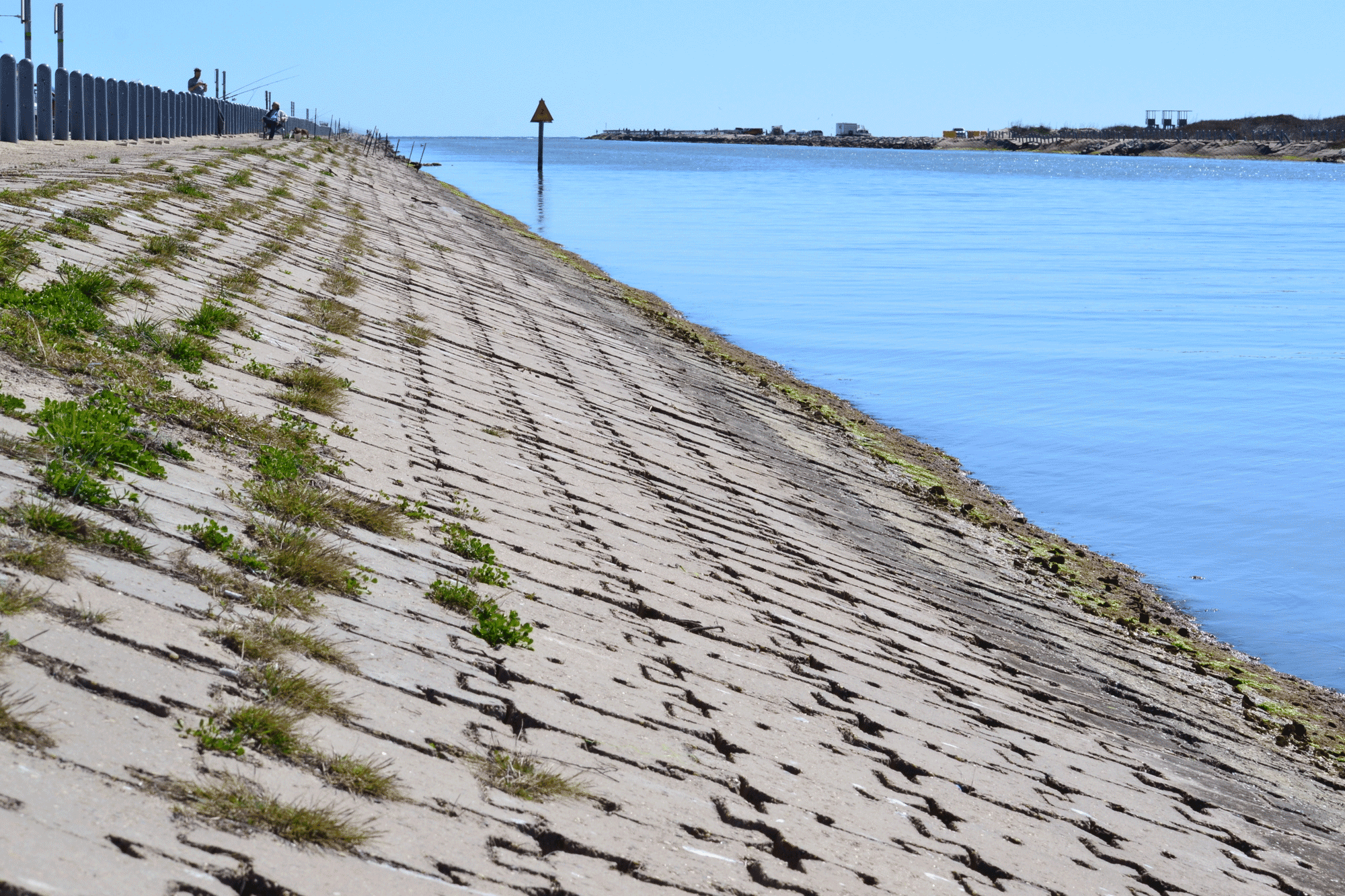
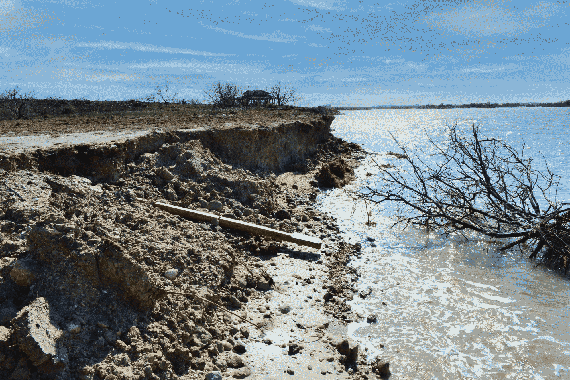
- Erosion: The loss of upland soil along a shoreline due to the action of water, ice, or wind. Indicators of erosion include bare soil areas, leaning and fallen trees, exposed tree roots, and dead tree stumps in the water.
- Erosion Rate: The average horizontal retreat of the shoreline over time.
- FAC: Facultative - National Wetland Indicator Status that indicates a plant is equally likely to occur in wetlands and non-wetlands.
- FACW: Facultative wetland – National Wetland Indicator Status that indicates a plant usually occurs in wetlands, but occasionally can be found in non-wetlands.
- FACU: Facultative upland – National Wetland Indicator Status that indicates a plant usually occurs in non-wetlands, but occasionally can be found in wetlands.
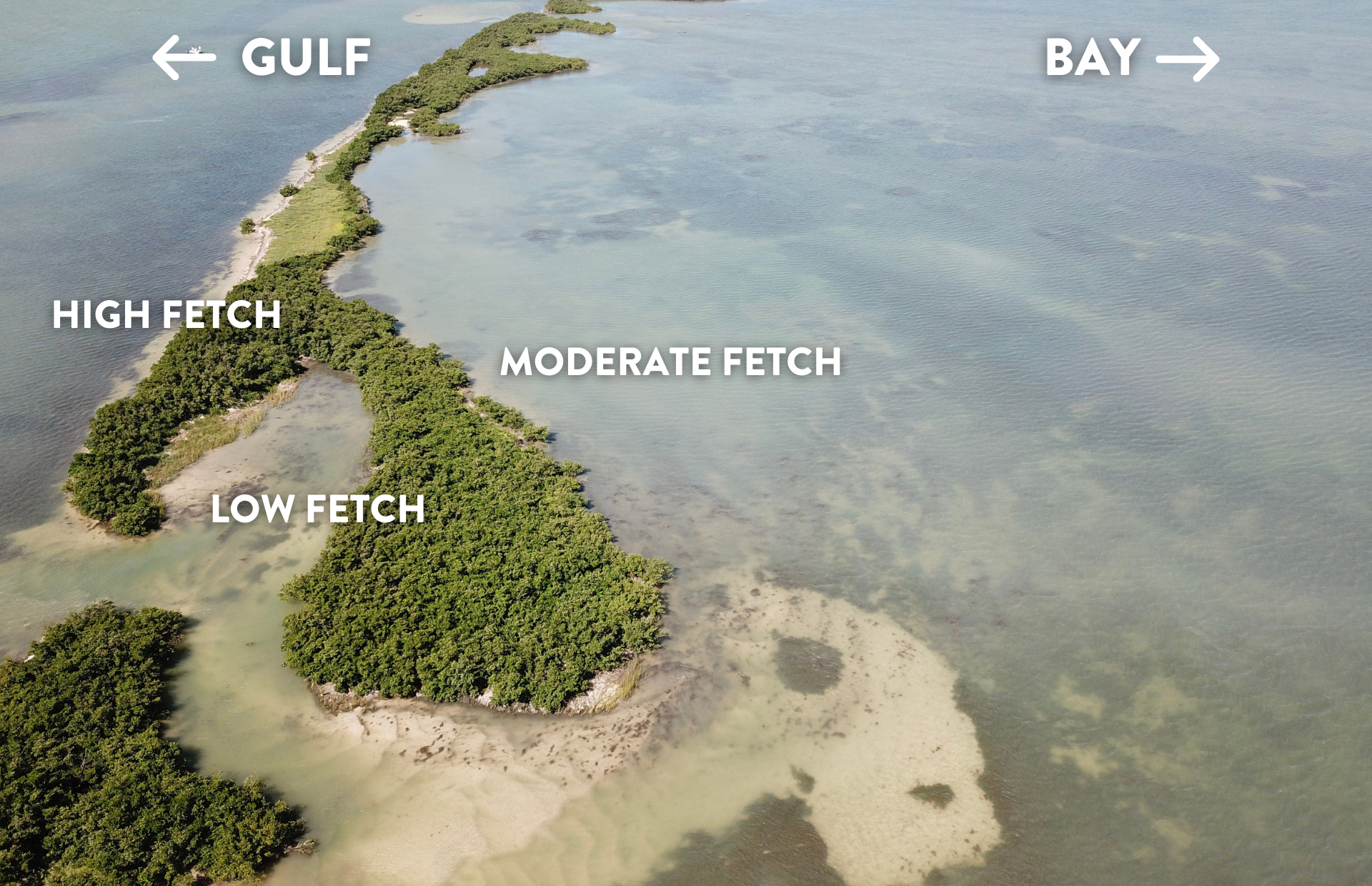
- Fetch: Distance that wind or waves travel across open water.
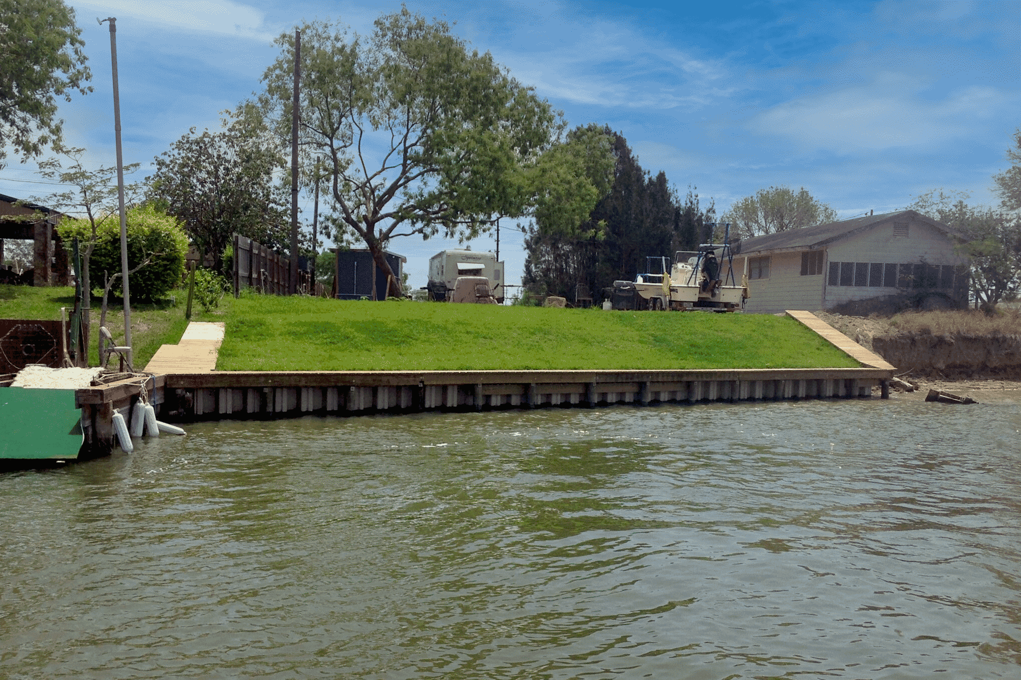
- Fill: Soil or other material that replaces surface water with dry land or changes the bottom elevation of a surface water.
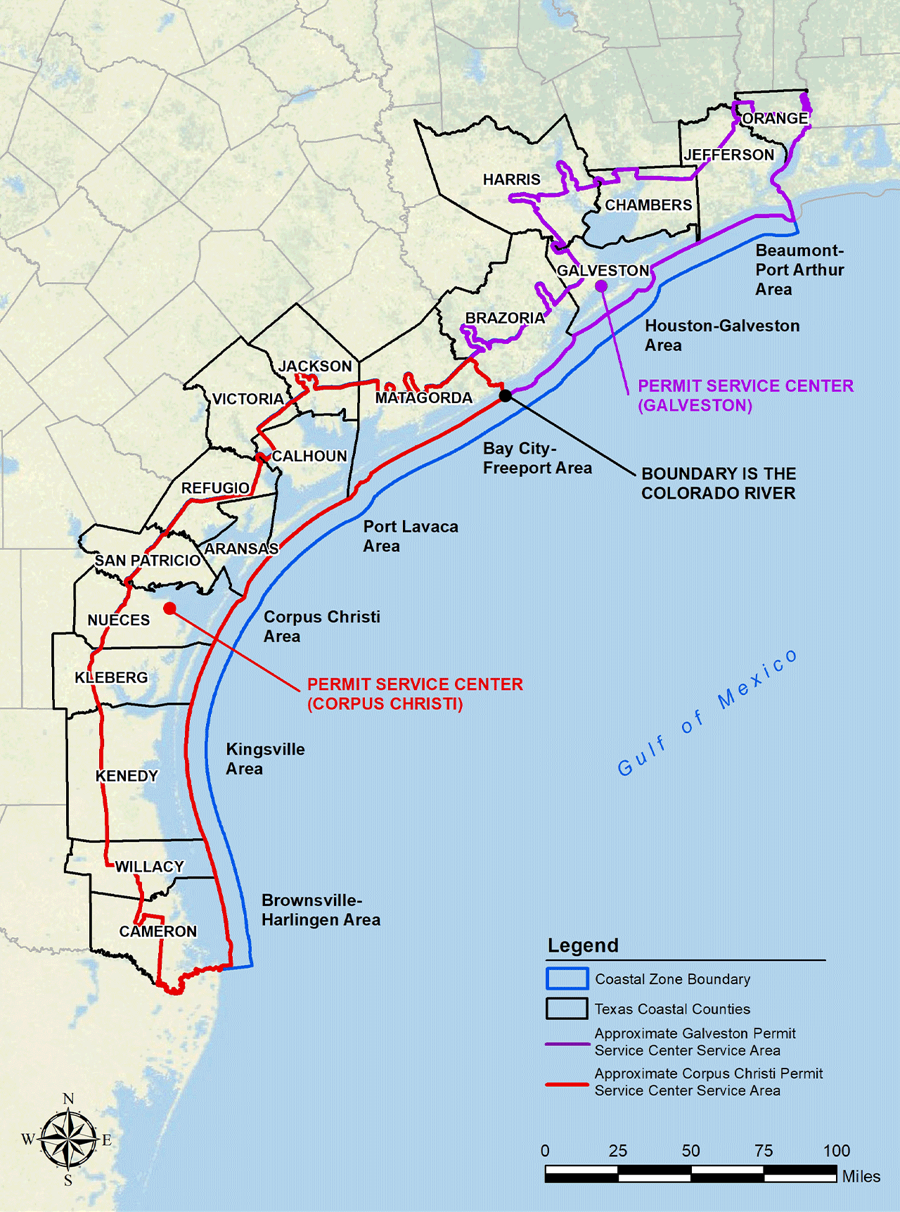
- GLO Jurisdiction: The Texas Coastal Management Program boundary area that the Texas General Land Office is required to regulate through state and federal laws.
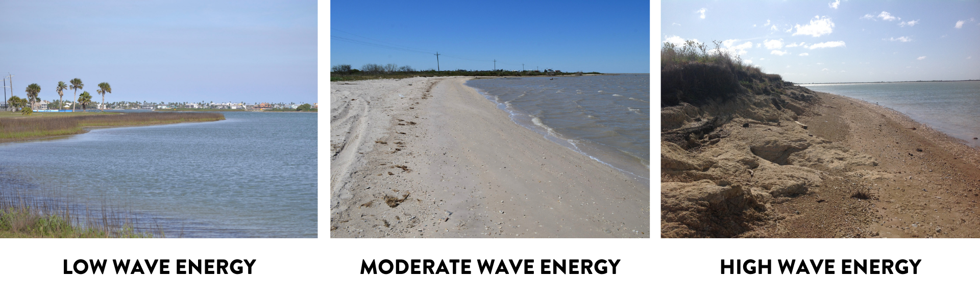
- High-Energy Shoreline: Shorelines directly impacted by the effects of larger waves created by higher winds, longer fetches, and/or boat wakes.
- Hybrid Living Shoreline: Living shoreline that uses a hard structure such as breakwater, riprap, etc. in combination with vegetative plantings.
- Jetty: A long, narrow man-made structure that protects a coastline from the currents and tides.
- Living Shoreline: Living shorelines incorporate substantial natural or nature-based features, potentially combined with hard structural components as approved by the Texas General Land Office, to provide shoreline protection and stabilization while maintaining shoreline ecosystem functions. Living shorelines use natural or recycled materials, along with the strategic placement of plants and/or other organic material, to reduce erosion, protect property, create habitat, and enhance resiliency.
- Living Shoreline Site Suitability Model (LSSM): Created by the Harte Research Institute at Texas A&M University–Corpus Christi, the LSSM is a GIS model that predicts the best management practices for a shoreline and where living shorelines are suitable, using available map data and decision tree logic.
- Low-Energy Shoreline: A shoreline protected from the effects of high winds, long fetches, and boat wakes resulting in less wave energy reaching the shoreline.
- Low-Profile Breakwater: A breakwater that is located parallel to the shoreline and is generally below the surface at low tide.
- Marsh: Coastal wetlands that are flooded and drained by salt water brought in by the tides. They are marshy because the soil may be composed of deep mud and peat. Peat is made of decomposing plant matter that is often several feet thick. (NOAA)
- Mud Flat: Mud flats, also known as tidal flats, are coastal wetlands that form in intertidal areas where sediments have been deposited by tides or rivers.
- Native Vegetation: Includes all the plant species that occur naturally in a particular habitat and provide essential habitat for native insects and animals. View our planting guide for more information about the types of plants suitable for your project site.
- Natural Fiber Material: Made of coir fiber, wood, straw, jute, or a combination of organic, biodegradable materials.
- Natural Recruitment: The natural increase in animal or vegetation population within a habitat.
- OBL: Obligate Wetland – National Wetland Indicator Status that indicates a plant almost always occurs in wetlands under natural conditions.
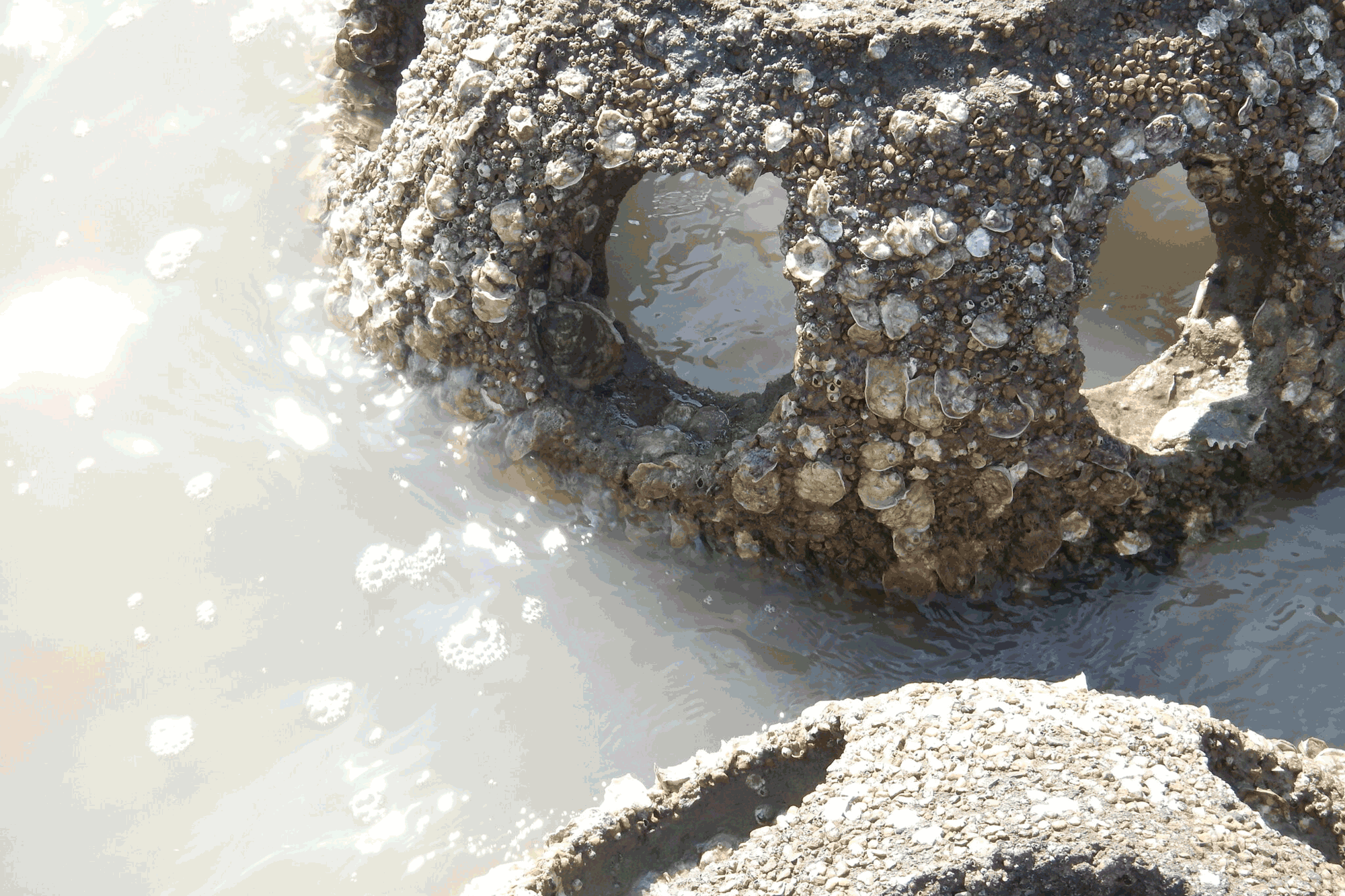
- Reef Ball: A concrete structure made using a fiberglass mold which is placed to break wave action and provide habitat for oysters and other shelled organisms to grow.
- Resilient: Ability to function under, and recover from, disturbance.
- Riparian: Relating to wetlands adjacent to rivers and streams.
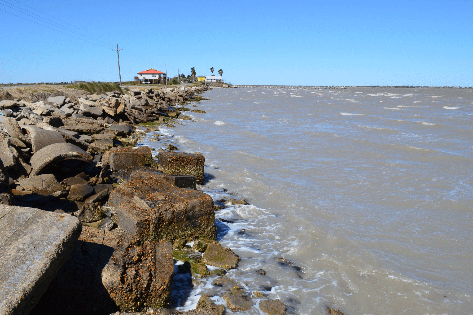
- Riprap: Rock or chunky concrete material laid along the shoreline that breaks up wave energy at the shoreline; can also be used in breakwater construction.
- Submerged Aquatic Vegetation: Underwater vegetation including seagrasses such as shoal grass ( Halodule wrightii) and turtle grass ( Thalassia testudinum).
- Seawall: A form of coastal defense structure, essentially a large bulkhead or retaining wall, that provides shoreline protection from waves but also retains soil.
- Sediment: Naturally occurring materials that have been broken down by weathering and erosion. Finer, small-grained sediments are silts or clays. Slightly coarser sediments are sands. Even larger materials are gravels or cobbles.
- Silt: Fine-grained material that can be easily carried and transported by moving water.
- Storm Surge: The resulting temporary rise in sea level due to the action of wind stress on the water surface and low atmospheric pressure created during storms which can cause coastal flooding.
- Subsidence: The gradual caving in or sinking of an area of land.
- Substrate: An underlying material or substance, typically where plants grow.
- Texas Coastal Zone Boundary: The Texas Coastal Management Program boundary area that the Texas General Land Office is required to regulate through state and federal laws. Projects located within the Texas Coastal Zone Boundary are required to consult with the Texas General Land Office. Click here to view a map.
- Tidal Flat: Tidal Flats, also known as mud flats, are coastal wetlands that form in intertidal areas where sediments have been deposited by tides or rivers.
- UPL: Obligate Upland – National Wetland Indicator Status that indicates a plant almost always occurs in non-wetlands under natural conditions.
- Wave Energy: The transport and capture of energy by ocean surface waves.

Acronyms
- AIP: Aquatic Introduction Permit
- ARRP: Aquatic Resource Relocation Plan
- CBS: Coastal Boundary Survey
- CBZ: Coastal Boundary Zone
- CMP: Texas Coastal Management Program
- LSLS: Licensed State Land Surveyor
- NOAA: National Oceanic and Atmospheric Administration
- NWPs: Nationwide Permits
- PSC: Permit Service Center
- TAC: Texas Administrative Code
- TCEQ: Texas Commission on Environmental Quality
- TGLO: Texas General Land Office
- TPWD: Texas Parks and Wildlife Department
- USACE: U.S. Army Corps of Engineers