


Aerial Imagery & LiDAR Data > 1990s
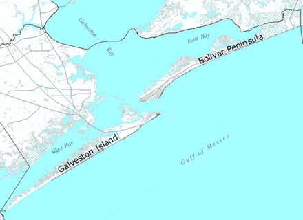
Galveston Island and Bolivar Peninsula, Galveston County
February 23, 1999
Select either Galveston Island or Bolivar Peninsula
Film: 70 mm color (2.25" x 2.25" square format)
Format: digital scans (not georeferenced)
Camera: Hasselblad ELM
Lens: 100mm focal length
Altitude: approx. 7,400 feet (Gulf shoreline) approx. 8,500 feet (bay shoreline)
Film Scale: 1" = 1,875' (+/- 50 feet)