


Aerial Imagery & LiDAR Data > 2000-2009
May 2006
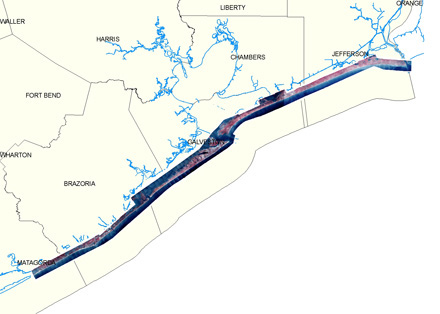
Click to zoom to an area.
Image
Image

Dates: May 2006
Format: Georeferenced color infrared digital images; SID, TIFF
Coordinate System: UTM NAD 83, Zone 15 (upper coast), Zone 14 (lower coast), units: meters
Resolution: 1.0 ft/pixel
Source: P2ES
Locations: Upper Coast: gulf shoreline, Sabine Lake to East Matagorda Bay
Lower Coast: gulf shoreline, Lower CO River Delta, San Jose Isl, Mustang Island, South Padre Isl