


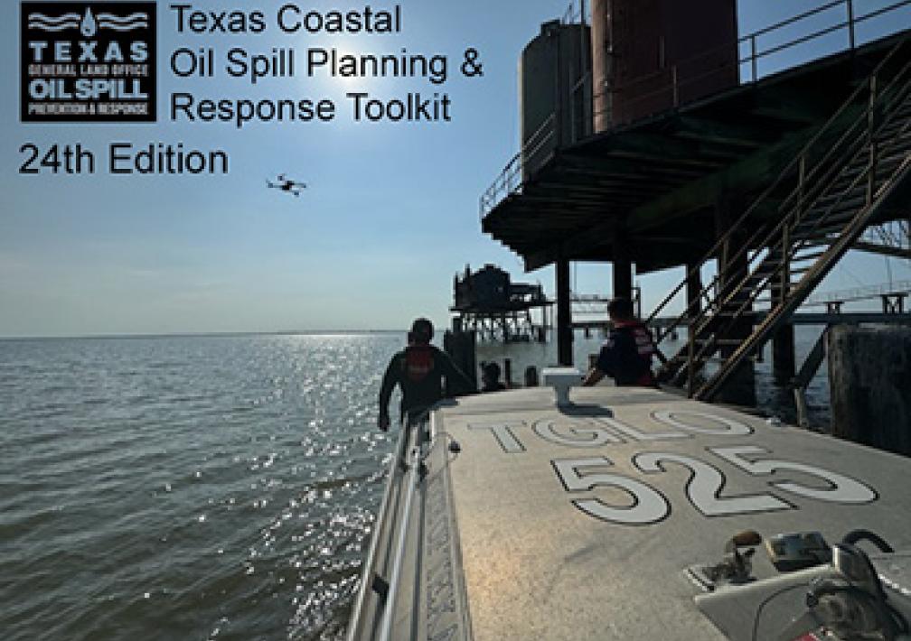
About the Oil Spill Toolkit
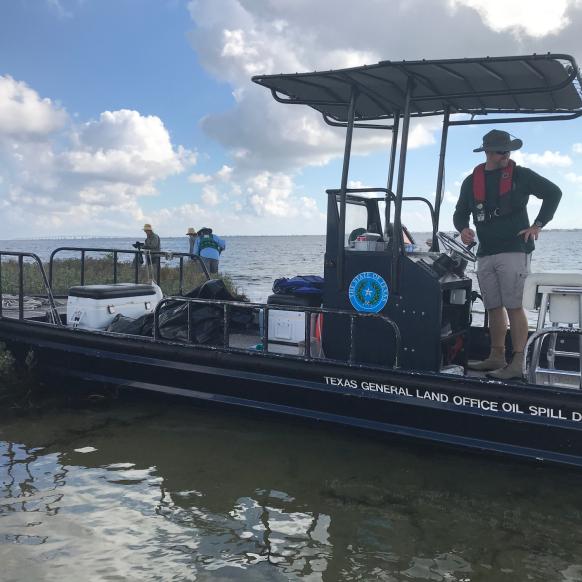
The Texas General Land Office (GLO) Oil Spill Toolkit is an oil spill planning and response tool developed by the GLO in coordination with the Coast Guard and the National Oceanic and Atmospheric Administration (NOAA), with substantial contributions from state and federal partners. The GLO toolkit is designed to be a decision-making resource for the Gulf Coast spill response community. It includes the 8th Coast Guard District Area Contingency Plans, maps of environmentally sensitive coastal environments including resources at risk, geographic response strategies, Regional Response Team guidance, NOAA job aids, Shoreline Cleanup Assessment Technique forms, Texas Gulf beach stakeholder contact information, and oceanographic and meteorological information.
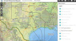
Oil Spill Response Mapper
The Texas General Land Office (GLO) Oil Spill Toolkit is an oil spill planning and response tool developed by the GLO in coordination with the Coast Guard and the National Oceanic and Atmospheric Administration (NOAA), with substantial contributions from state and federal partners.
Click to view the following information housed in the Toolkit:
The Oil Spill Response Mapping Tool contains information from the Oil Spill Toolkit, TGLO coastal resources, and NOAA. Use the provided tools to generate reports for ICS forms, identify sensitive habitats and species, view maritime information, query spatial data, and other mapping activities.
Learn More
United States Coast Guard
United States Coast Guard. U.S. Department of Homeland Security.
General Land Office
Texas General Land Office Commissioner Dawn Buckingham, M.D.
NOAA
National Oceanic and Atmospheric Administration U.S. Department of Commerce