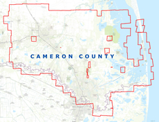
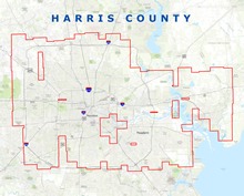
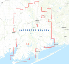
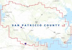
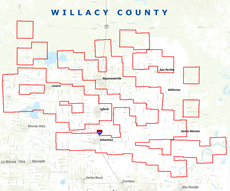
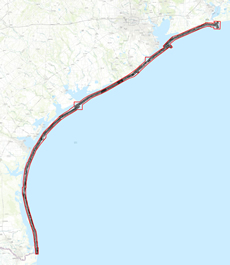
1950 Cameron County Image 1954 Galveston Island Image 1953 Harris County Image 1957 Matagorda County Image 1950 San Patricio County Image 1950 Willacy County Image 1953-54 Gulf Shoreline Image