


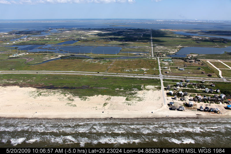
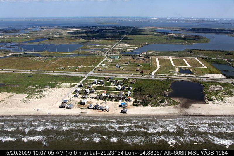
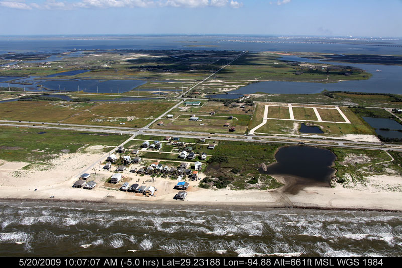
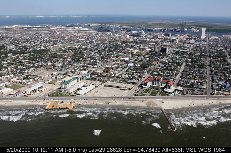
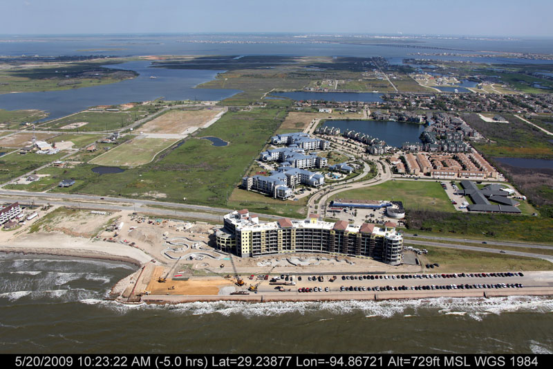
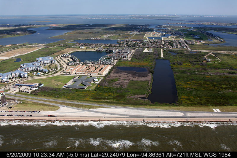
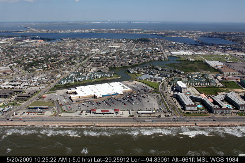
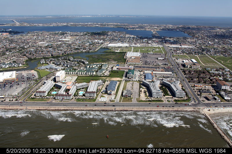
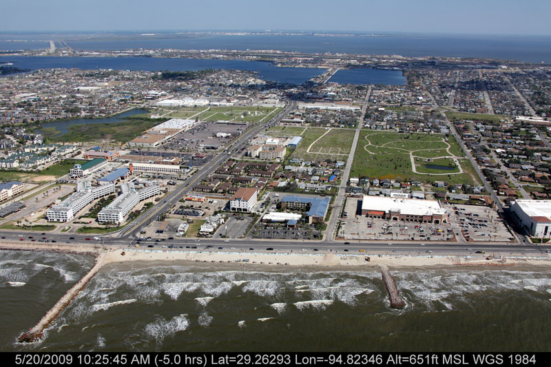
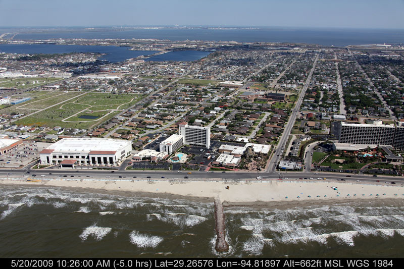
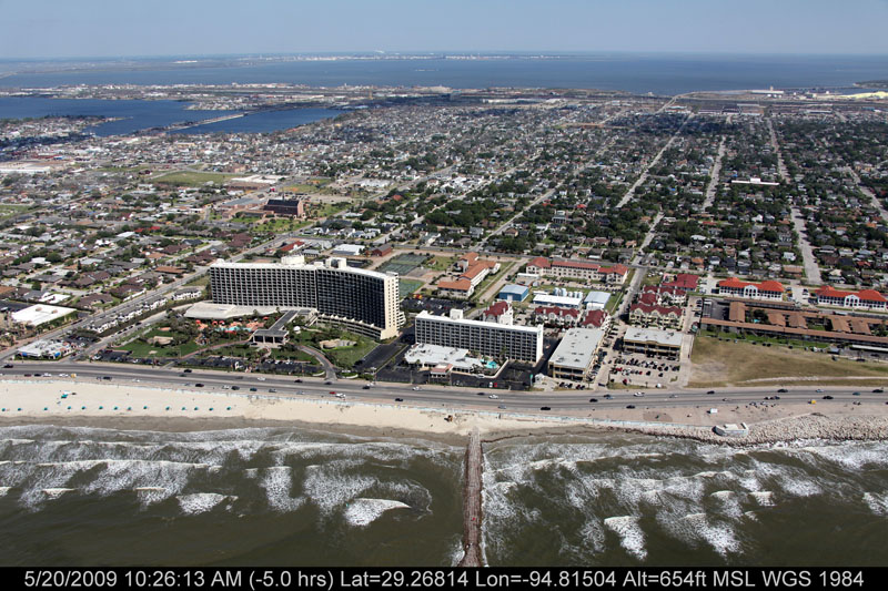
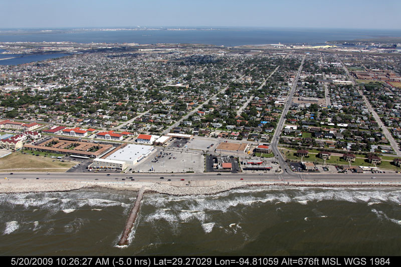
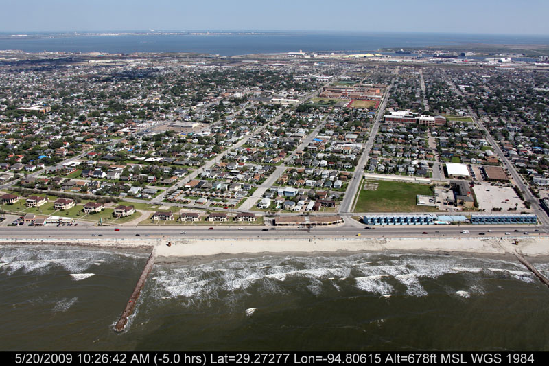
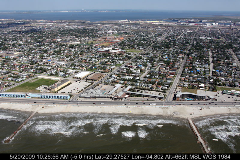
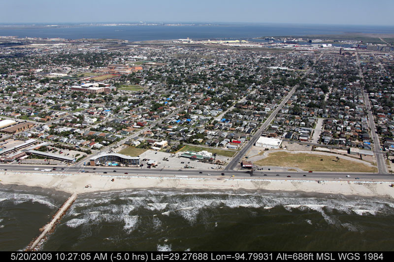
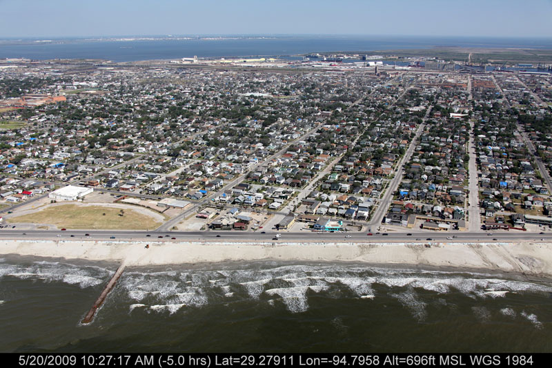
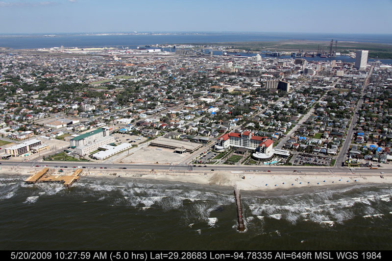
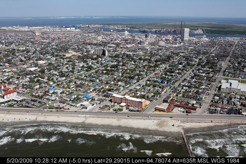
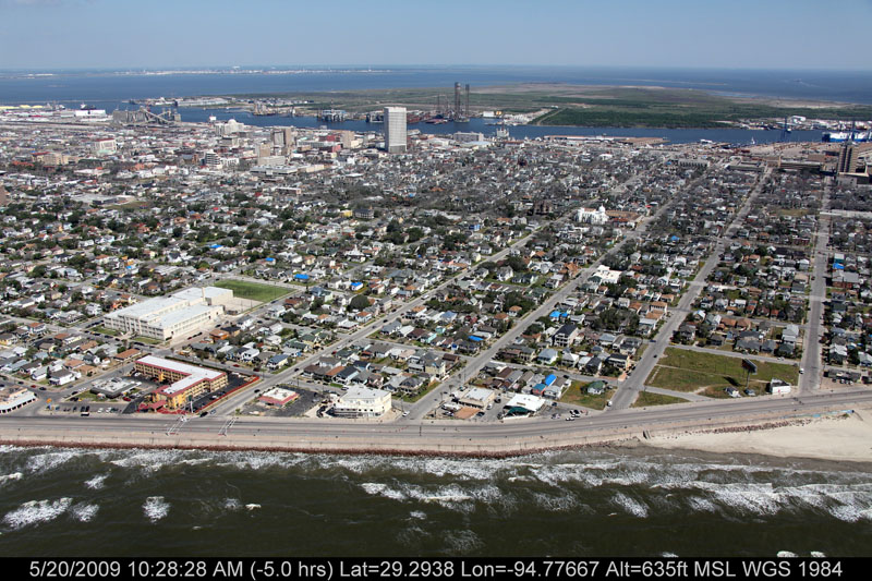
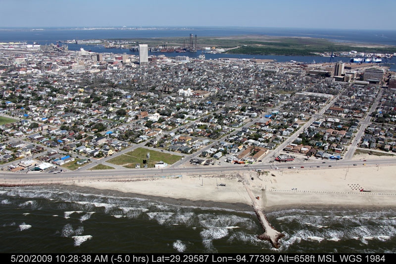
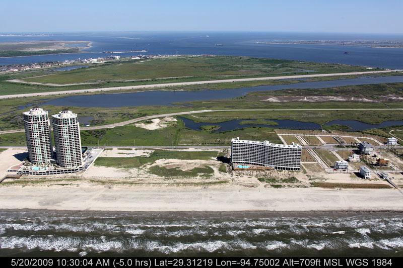
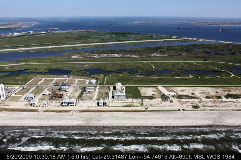
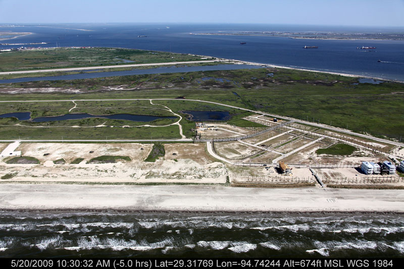
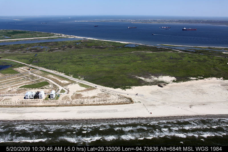
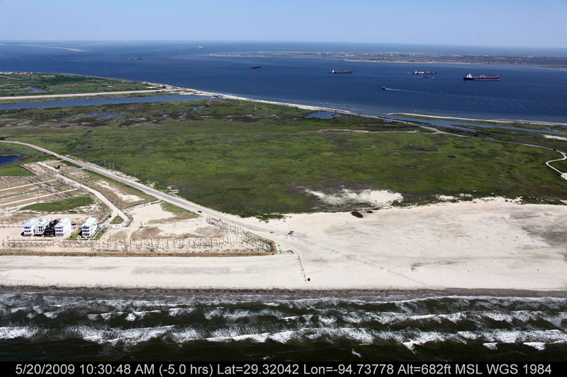
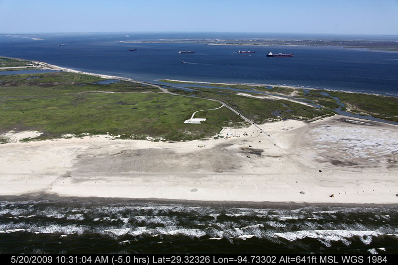
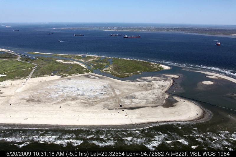
Aerial Imagery & LiDAR Data > 2000 - 2009
To request the high-resolution imagery, please send the flight date/name, and the list of your requested tiles, to the General Land Office Geospatial Team at Geospatial@glo.texas.gov or 512-463-4352.
The Texas General Land Office makes no representations or warranties regarding the accuracy or completeness of the information depicted on these images, or the data from which they were produced. These images ARE NOT suitable for navigational purposes and do not purport to depict or establish boundaries between private and public land.
Photo credit: Texas General Land Office.
Frames 8295-8472

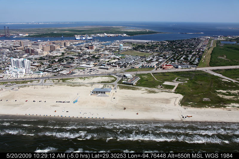
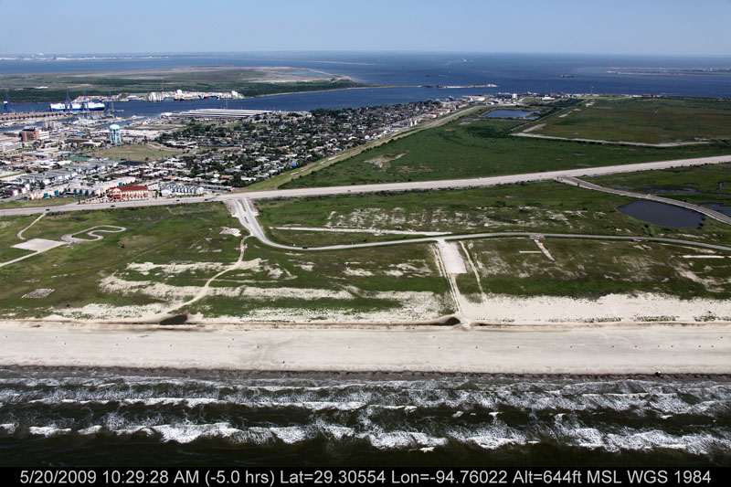
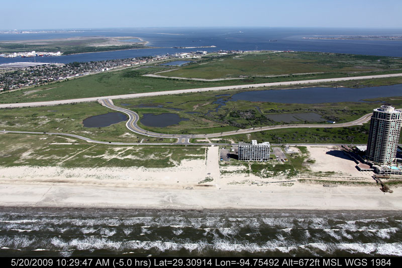
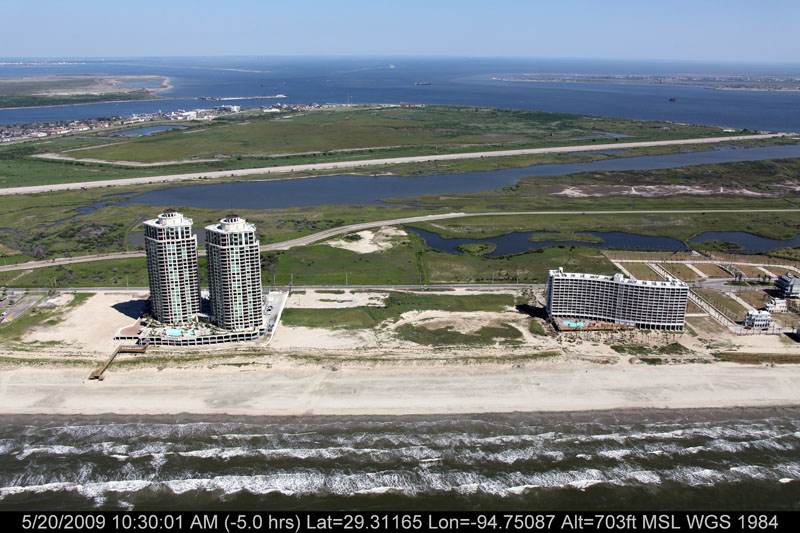
Image
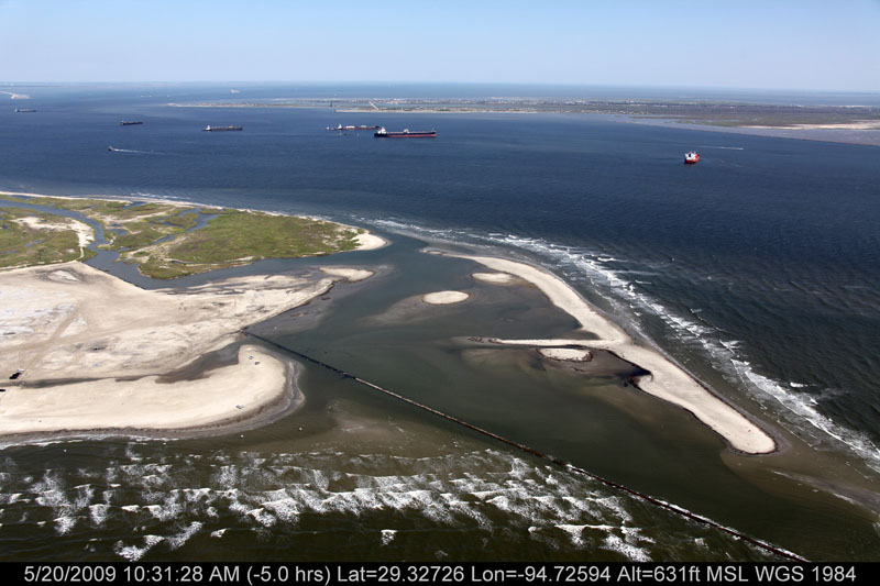
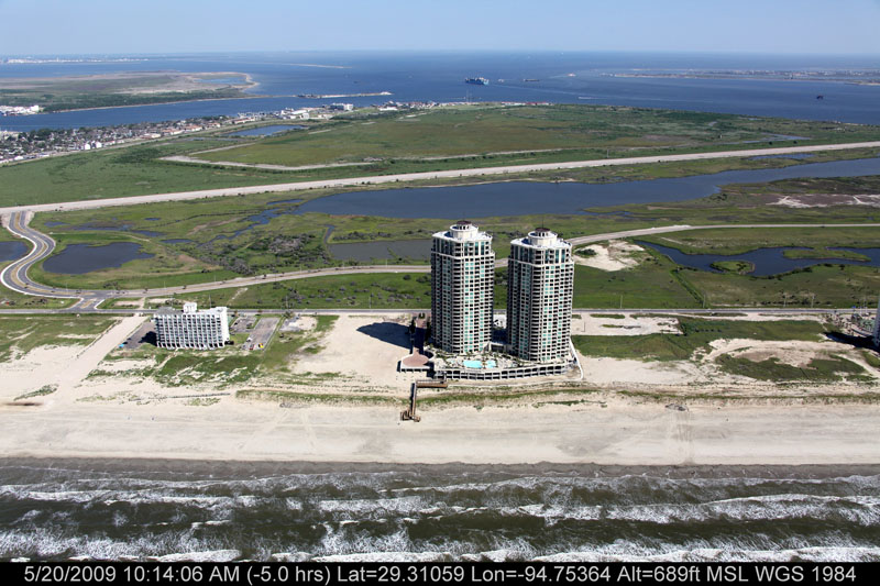
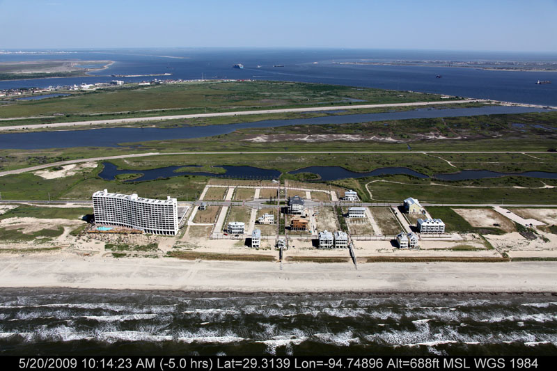
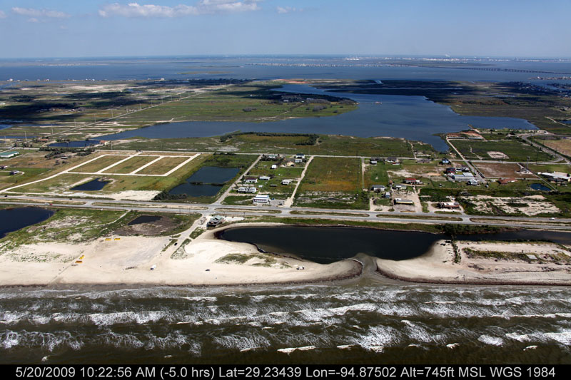
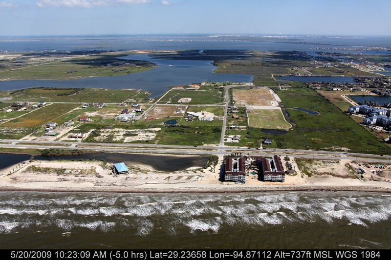
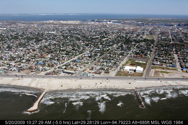
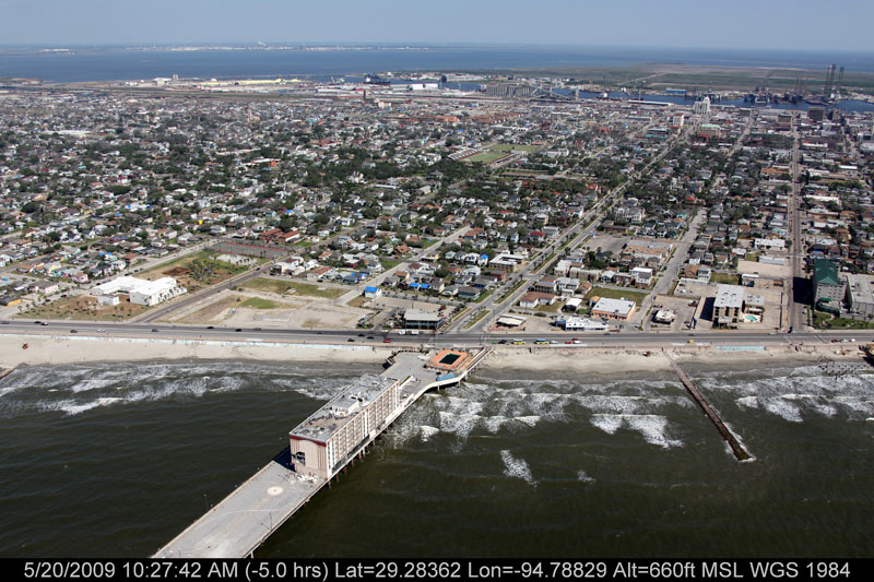
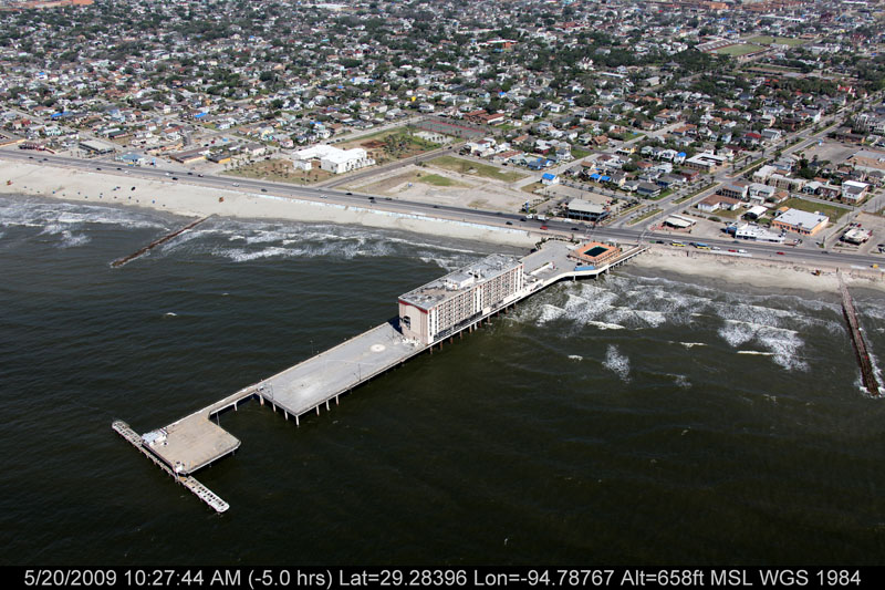
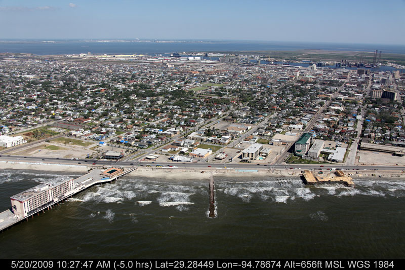
Date Flown: May 2009
Format: oblique natural color digital images; JPEG
Source: Red Wing, Inc.