


Aerial Imagery & LiDAR Data > 2000 - 2009
Frame Numbers |
Locations |
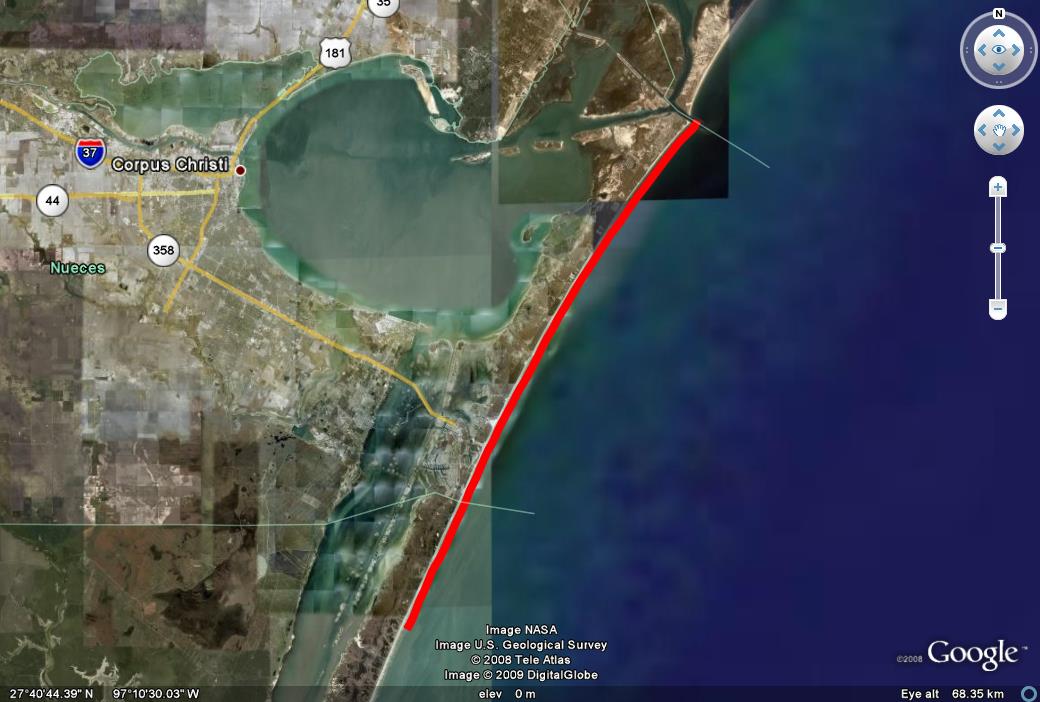
| 3346 to 3608 | Corpus Christi to Mustang Island [map] [kmz] |
| 3613 to 3656 | Colorado River to 3 mi N [map] [kmz] |
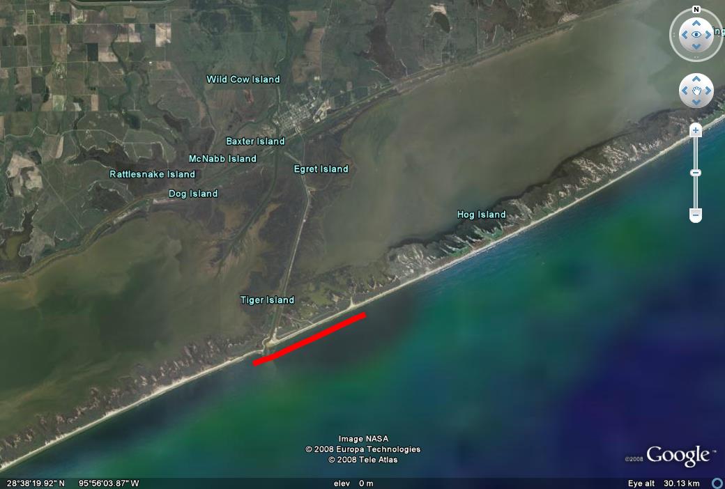
| 3659 to 4588 | Sargent Beach to High Island [map] [kmz] |
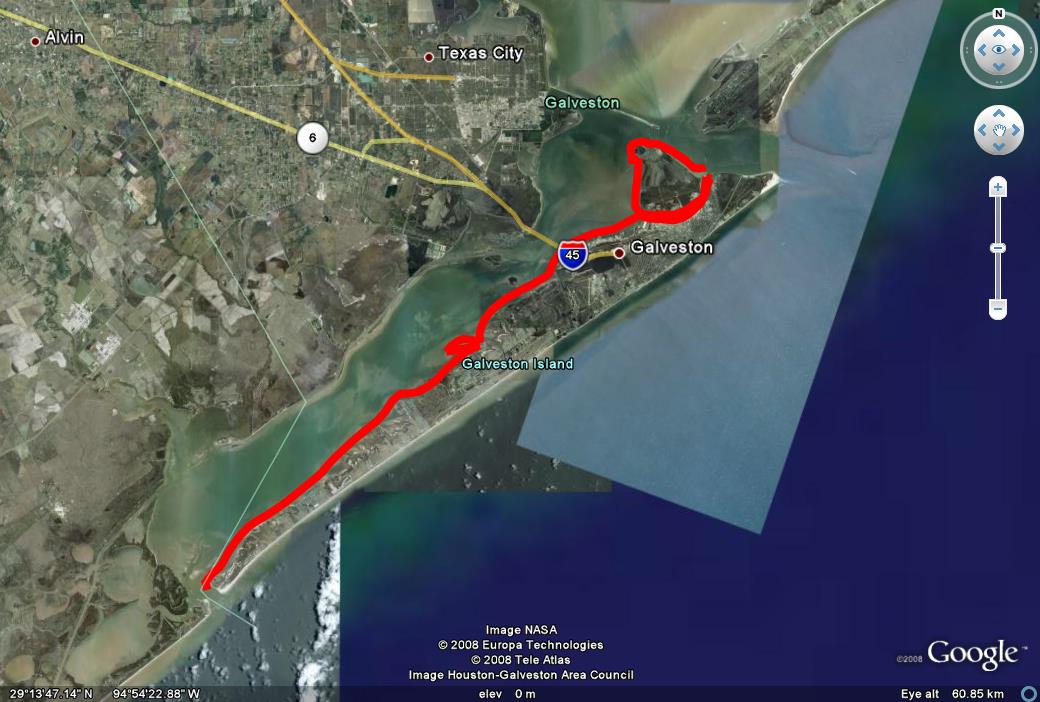
| 4590 to 4970 | Entire Length of Bay Side of Galveston Island [map] [kmz] |
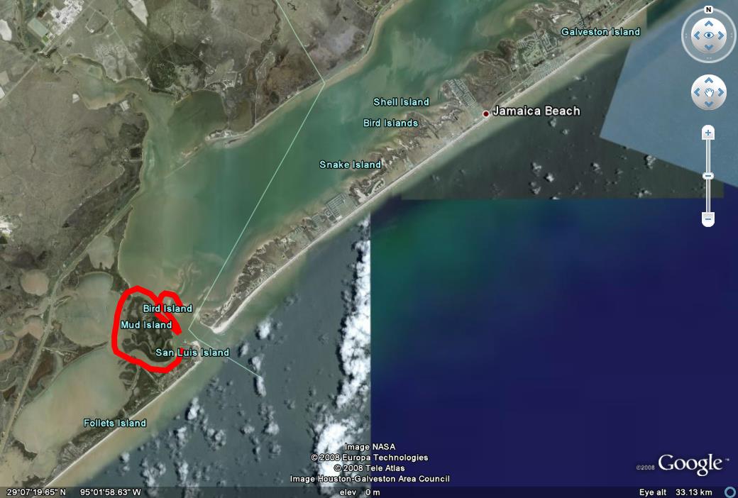
| 4974 to 5037 | West Bay Bird Island and Mud Island [map] [kmz] |
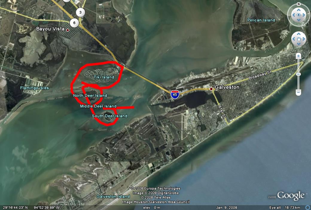
| 5039 to 5145 | North Deer Island and Tiki Island [map] [kmz] |
Date Flown: October 2008
Format: oblique natural color digital images; JPEG
Source: Red Wing, Inc.