


Aerial Imagery & LiDAR Data > 2000-2009
July - August 2008
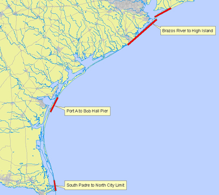
Galveston County, Port Aransas, South Padre Island
Click to zoom to an area.
Dates:
July-August, 2008
Format:
Georeferenced color infrared digital images; SID, TIFF
Coordinate System:
UTM NAD 83, Zone 15 (upper coast), Zone 14 (lower coast), units: meters
Resolution:
1.0 ft/pixel
Source:
P2 Energy Solutions