


Aerial Imagery & LiDAR Data > 2000-2009
February 8, 2000
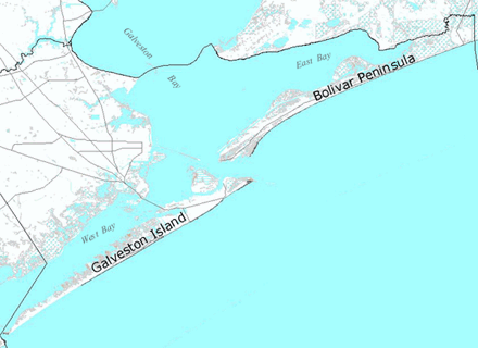
Click to zoom to an area.
Format: Color Infrared Digital Aerial Imagery (not georeferenced)
Resolution: 1 meter pixels
Altitude: approx. 7,000 feet
Locations: From Chambers/Galveston County line, south to Brazoria/Matagorda County line