


Aerial Imagery & LiDAR Data > 2000-2009
August 2005 LiDAR Elevation Data
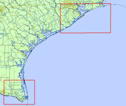
Click to zoom to an area.
Date: August 2005
Format: ArcInfo ASCII Raster format
Coordinate System: UTM NAD 83, Zone 15 (upper coast), Zone 14 (lower coast)
Locations: Galveston Isl, Follets Isl, Bolivar Peninsula, South Padre Isl, Mansfield Pass, Rio Grande
Resolution: 1 Meter Digital Elevation Model (DEM)
Source: University of Texas, Bureau of Economic Geology