


Aerial Imagery & LiDAR Data > 2000-2009
May 2000 LiDAR Elevation Data
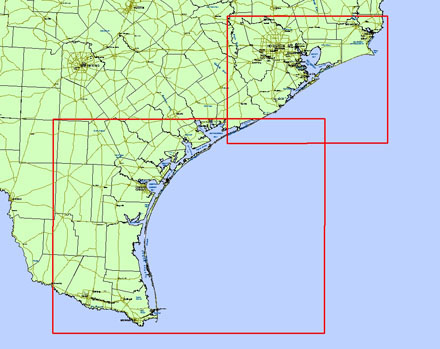
Click to zoom to an area.
Date: May 2000
Format: ArcInfo ASCII Raster format
Coordinate System: UTM NAD 83, Zone 15 (upper coast), Zone 14 (lower coast)
Locations: Matagorda Peninsula, Matagorda Island, San Jose Island, Mustang Island, North Padre Island, Padre Island National Seashore, Bolivar Peninsula, Galveston Island, Follets Island, San Luis Pass, Rollover Pass, Galveston Ship Channel (Bolivar Roads), Sargent Beach, Sabine Pass
Resolution: 1 Meter Digital Elevation Model (DEM)
Source: University of Texas, Bureau of Economic Geology