


Aerial Imagery & LiDAR Data > 2000-2009
May 2009 Rollover Pass
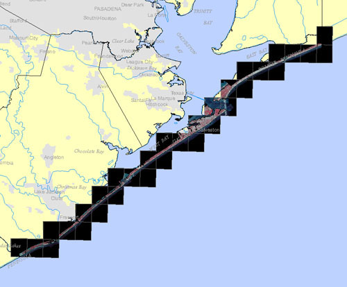
Brazoria, Galveston, & Chambers Counties Gulf Shoreline
Click to zoom to an area.
Dates:
May 2009
Format:
Georeferenced color infrared digital images; MrSID, GeoTIFF
Coordinate System:
UTM NAD 83, Zone 15
Resolution:
0.5 ft/pixel
Source:
Kucera International Inc.