


Aerial Imagery & LiDAR Data > 2000-2009
July 3, 2004
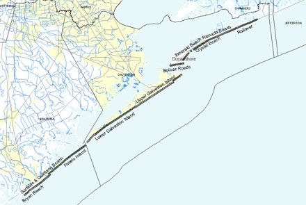
Click to zoom to an area.
Dates: July 3, 2004
Format: Scanned and georeferenced color 9"x9" prints
Source: Pro-Terra Aerial Mapping Inc.
Locations: Galveston and Brazoria gulf shoreline