


Aerial Imagery & LiDAR Data > 2000-2009
September - November 2004
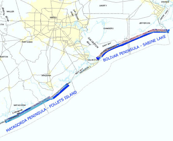
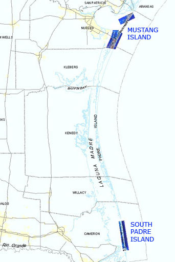
Click to zoom to an area.
Dates: September 10, November 7, and November 25, 2004
Format: georeferenced color infrared digital images, UTM NAD 83, Zone 15 (upper coast) and Zone 14 (lower coast), units: meters, MrSID and compressed mosaics, geoTIFF individual frames
Resolution: 0.37 meters/pixel
Source: Tobin International, Ltd.
Locations: Upper Coast: gulf shoreline, Sabine Lake to East Matagorda Bay
Lower Coast: gulf shoreline, Lower Colorado River Delta, San Jose Island, Mustang Island, South Padre Island