


Aerial Imagery & LiDAR Data > 2000-2009
September 2005
To request the high-resolution imagery, please send the flight date/name, and the list of your requested tiles, to the General Land Office Geospatial Team at Geospatial@glo.texas.gov or 512-463-4352.
The Texas General Land Office makes no representations or warranties regarding the accuracy or completeness of the information depicted on these images, or the data from which they were produced. These images ARE NOT suitable for navigational purposes and do not purport to depict or establish boundaries between private and public land.
Photo credit: Texas General Land Office.
Dates: September 2005
Format: GeoTIFF
Coordinate System: Geographic Coordinates (decimal degrees), NAD83
Resolution: 1.0 ft/pixel
Source: U.S. Geological Survey, National Wetlands Research Center
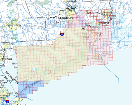
Locations: This dataset is a collection of GeoTIFF format natural color image tiles that cover regions
of Louisiana and Texas that were affected by Hurricane Rita in September 2005.
[metadata]