


Aerial Imagery & LiDAR Data > 2010-2019
August 2013
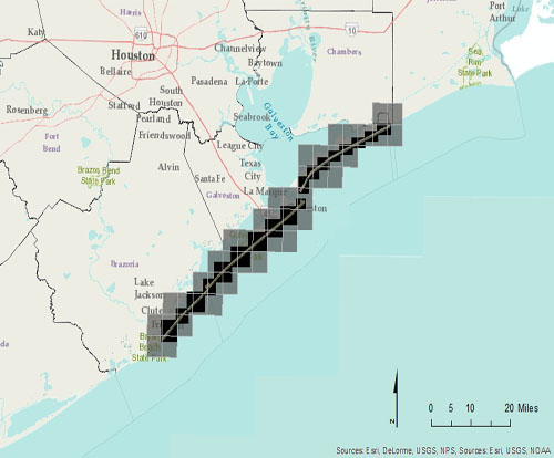
Click to zoom to an area.
Dates:
August 2013
Format:
georeferenced color infrared digital images, UTM NAD 83, Zone 15 ; units: meters; MrSID, GeoTIFF, and JPEG formats
Resolution:
3.0 inches/pixel
Source:
DAS, Inc.