


Aerial Imagery & LiDAR Data > 2010-2019
January, June 2013 LiDAR Elevation Data
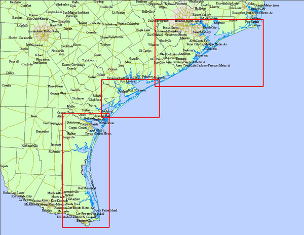
Click to zoom to an area.
Dates:
February 2012
Format:
ASCII Raster format & LAS point cloud files
Resolution:
1 Meter Digital Elevation Model (DEM)
Source:
University of Texas, Bureau of Economic Geology