


Aerial Imagery & LiDAR Data > 2010-2019
January, June 2013 LiDAR Elevation Data
To request the high-resolution imagery, please send the flight date/name, and the list of your requested tiles, to the General Land Office Geospatial Team at Geospatial@glo.texas.gov or 512-463-4352.
The Texas General Land Office makes no representations or warranties regarding the accuracy or completeness of the information depicted on these images, or the data from which they were produced. These images ARE NOT suitable for navigational purposes and do not purport to depict or establish boundaries between private and public land.
Photo credit: Texas General Land Office.
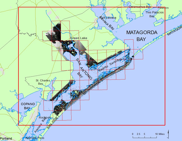
Click to zoom to an area.
Dates:
January 17-19, June 4-7, 2013
Format:
.bil binary raster, WGS 84, UTM Zone 14 N; units: meters
Resolution:
1 meter Digital Elevation Model (DEM)
Source:
University of Texas, Bureau of Economic Geology