


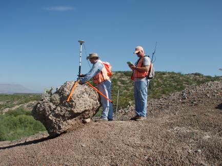
Surveying determines the location of state-owned land and minerals, worth vast sums of money, benefiting the Permanent School Fund. General Land Office surveys define the boundaries of all Permanent School Fund land, all 254 Texas counties, and Texas itself.
This includes 200,000 miles of boundary between private and state-owned properties along navigable streams, private uplands, and state-owned submerged lands along the Texas Gulf Coast. Because state-owned land and minerals are very valuable to the taxpayers, accurate surveys are vital to the General Land Office mission.
Vacancy
Purchase/Lease of Vacant Land -Application and procedures for the purchase or lease of vacant PSF land (Vacancy Application Packet).
Purchase or Lease of Un-Surveyed School Land or for the Purchase of Excess of Acreage - Questionnaire and form pertaining to the purchase of Un-Surveyed School Land or Excess PSF acreage.
A vacancy is a tract of unsurveyed, unsold public school land located between original surveys usually due to a surveying error. Because this land is unsurveyed and not included in the original land grant, it still belongs to the people of Texas and is therefore defined by the Texas Constitution as being for the benefit of the Permanent School Fund.
Excess Acreage/ Deed of Acquittance
Purchase Excess Acreage - Application and procedures for the purchase of Excess Acreage (Patented Surveys).
Purchase or Lease of Un-Surveyed School Land or for the Purchase of Excess of Acreage - Questionnaire and form pertaining to the purchase of Un-Surveyed School Land or Excess PSF acreage.
Purchase of Excess Acreage Form - Form for the submission of an Excess Acreage purchase from the PSF (Deed of Acquittance).
Excess acreage within a titled or patented survey is an amount of acreage greater than that called for in the original title or patent. Just like vacancies, excess acres usually result from inaccurate surveying from the 1800s and early 1900s. A current survey of an original grant of land may reveal excess acreage in a particular survey. Title to all or part of the original survey may be affected by the existence of the excess.
Land Patents
Affidavit for Corrected Patent - Form for the submission to the GLO for a corrected or lost Patent.
Patent Request Requirements - Written instructions and requirements for the application of a Patent request.
The instrument by which the Sovereign of Texas or the State of Texas divests itself of all right, title, and interest in and to any part of the surface estate of the public domain.
Coastal Boundary Survey (CBS)

Texas law requires landowners planning coastal erosion response projects, including living shorelines, to obtain a coastal boundary survey. The CBS is a special shoreline survey to determine the boundary between private land and state-owned submerged land. Coastal boundary surveys must be performed by licensed and qualified surveyors.
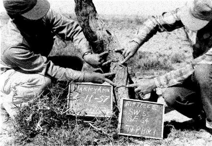
Field Note Form
Field Notes - Template for the submission of field notes.
Corrected Field Notes - Template for the submission of corrected field notes.
Contact Us
If you have a question about the Land program, find the right contact in our GLO Agency Directory
GLO AGENCY DIRECTORY