


Aerial Imagery & LiDAR Data > 2000-2009
October 15, 2002
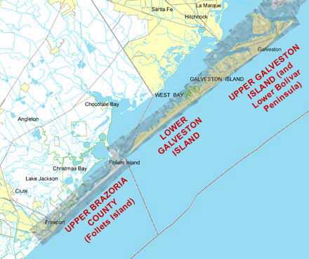
Galveston Island and Follets Island (northern Brazoria County)
Click to zoom to an area.
Dates: October 15, 2002
Format: Georectified digital scans (unknown projection)
Resolution: 1 inch = 2000 feet
Location: Galveston Island