Project Description
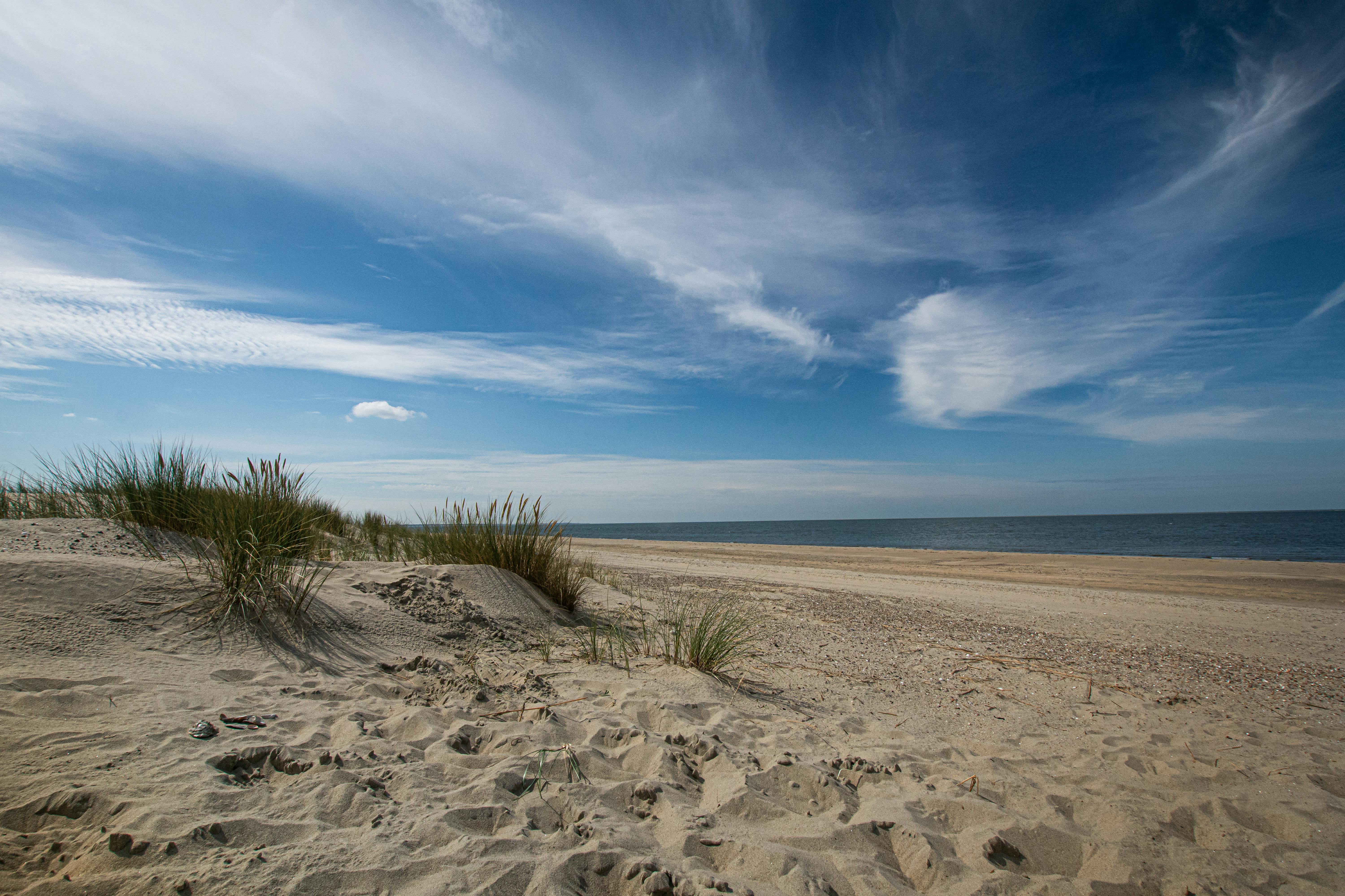
This project was of limited geographic scope, examining the area from Surfside Beach to Bolivar Peninsular, in order to assess the shoreline impacts and damage to the ongoing Cycle 2 projects in that region from the effects of Tropical Storm Fay.
Basics
Coastwide
Texas General Land Office
2
Classification
CEPRA
- Study/Research Project
Contacts
Timeline
Completed
2007
Budget/Costs
$0.00
$0.00
$0.00
$0.00
$0.00


