Post-Tropical Storm Fay Photos on the Texas Coast
SKIP TO PAGE CONTENT
  • Land
  •  
  • Land Management
  •  
  • gis
  •  
  • aerials
  •  
  • tsfay
  •  
  • GLO

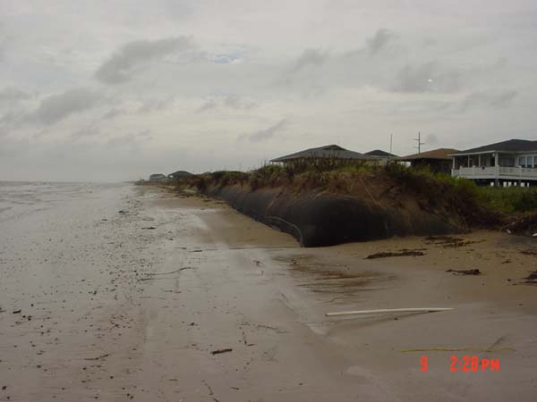
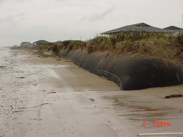
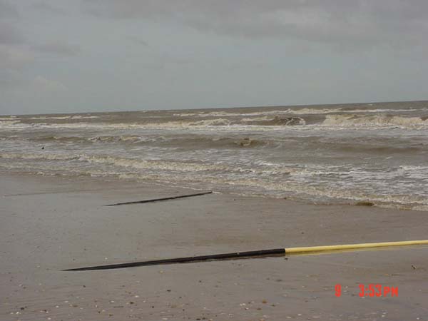
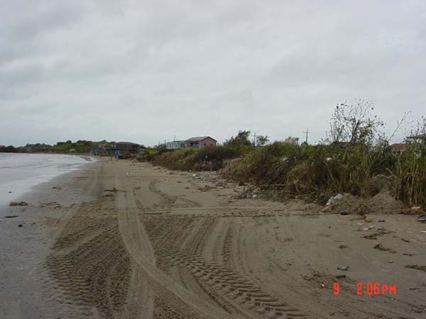
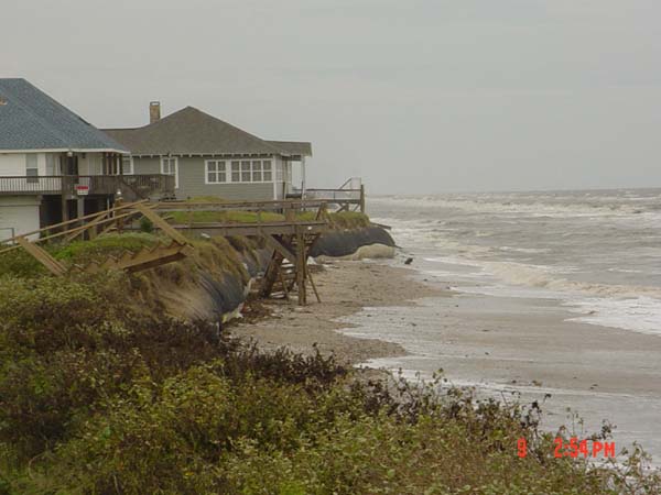
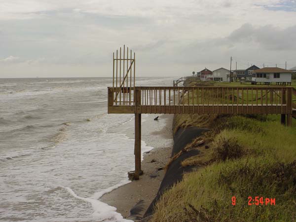
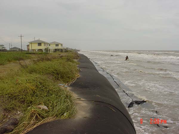
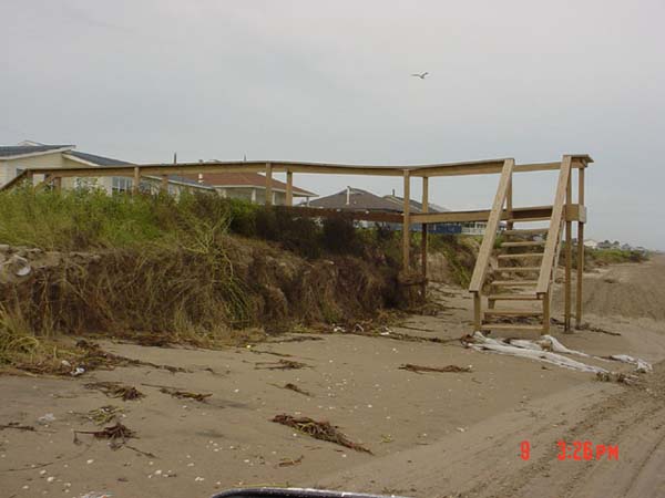
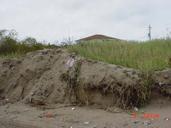
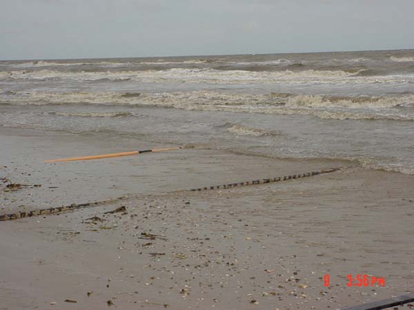
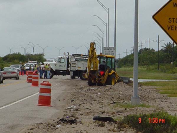
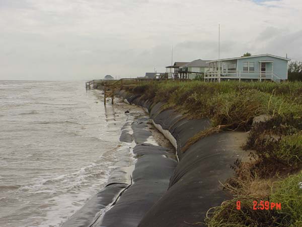
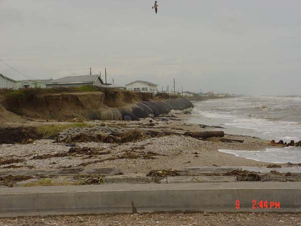
Post-Tropical Storm Fay Photos on the Texas Coast
September 2002
Bolivar Peninsula
Photos by: Texas General Land Office
 
Previous page 2 of 3 Next
Dirty Pelican West     Dirty Pelican West - view 2
Dirty Pelican West.jpg     Dirty Pelican West - view 2.jpg
Dune walkover between Galveston County litter barrels 46-62     Dunes east of first public beach access point East of the North Galveston Jetty
Dune walkover between Galveston County litter barrels 46-62.jpg     Dunes east of first public beach access point East of the North Galveston Jetty.jpg
End of Daigle St     Exposed 3-in lines running offshore to rigs in the Gulf of Mexico - a
End of Daigle St.jpg     Exposed 3-in lines running offshore to rigs in the Gulf of Mexico - a.jpg
Exposed 3-in lines running offshore to rigs in the Gulf of Mexico - b     Exposed 3-in lines running offshore to rigs in the Gulf of Mexico - c
Exposed 3-in lines running offshore to rigs in the Gulf of Mexico - b.jpg     Exposed 3-in lines running offshore to rigs in the Gulf of Mexico - c.jpg
First public beach access point west of the Fort Travis-Seashore Park     Highway 87 repair work performed by Texas Department of Transportation
First public beach access point west of the Fort Travis-Seashore Park.jpg     Highway 87 repair work performed by Texas Department of Transportation.jpg
Jean St East     Jean St West
Jean St East.jpg     Jean St West.jpg
Jean St West wideangle     Rollover Pass East
Jean St West wideangle.jpg     Rollover Pass East.jpg
Smith Dr East      
Smith Dr East.jpg