Project Description
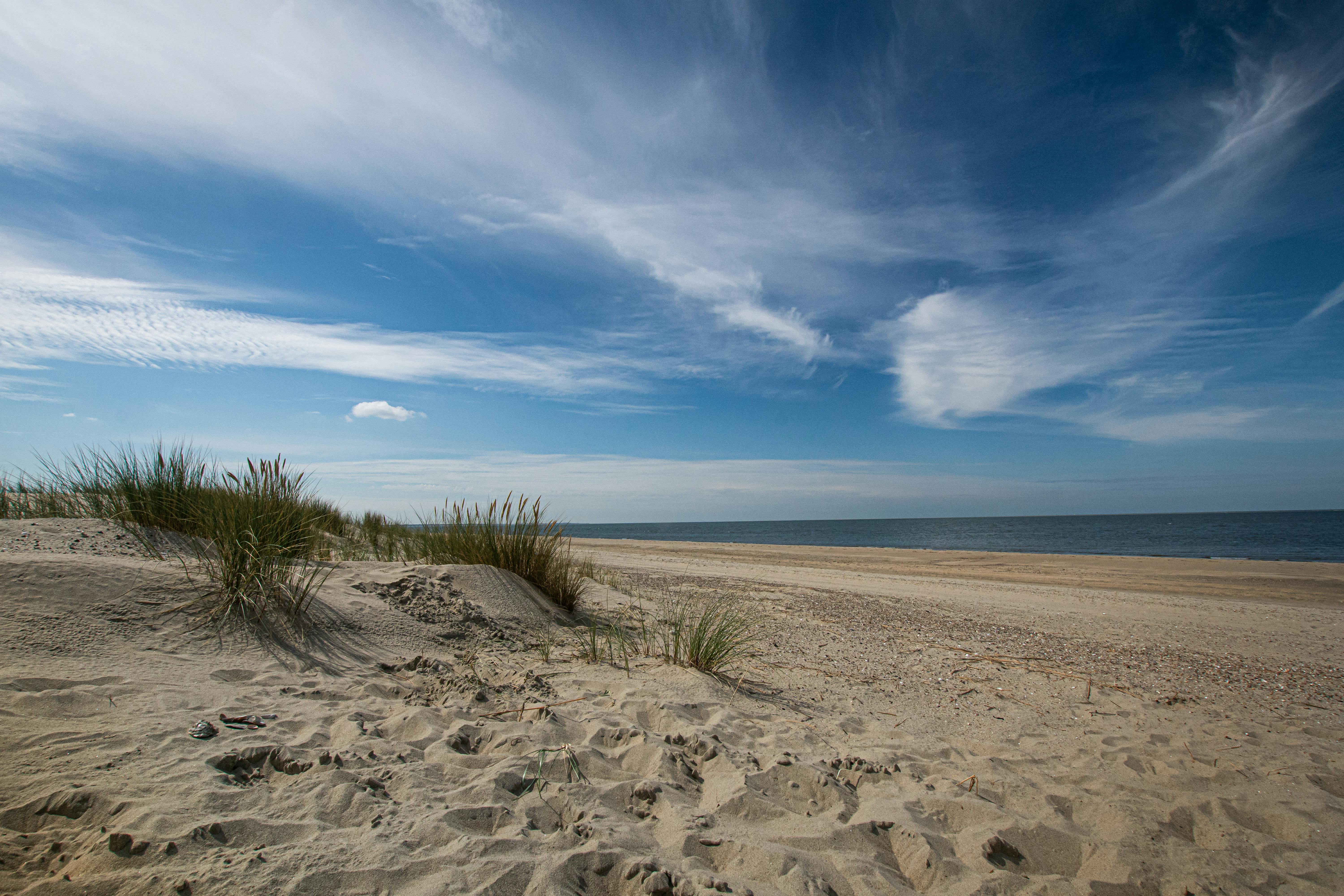
The University of Texas mapped the Gulf shoreline position in Nueces and Kleberg Counties using Global Positioning System (GPS) techniques and to evaluate shoreline movement since 1974.
Basics
Lower Coast
University of Texas Bureau of Economic Geology (UTBEG)
4
Classification
CMP
- 306
Information & Data Availability
Contacts
Timeline
Closed
2001
Budget/Costs
$71,725.75


