


Aerial Imagery & LiDAR Data > 1980s
June-September 1982
[METADATA]
Dates:
June-September 1982
Format:
Scanned and georeferenced color infrared 9"x9" prints
Coordinate System:
UTM NAD 83, Zone 15, meters
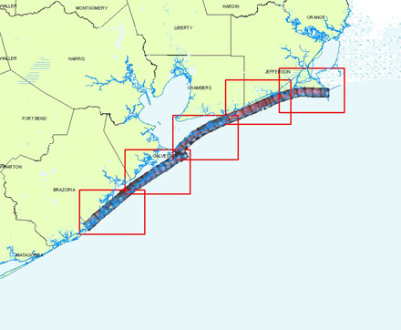
Locations:
Upper Coast
Source:
University of Texas, Bureau of Economic Geology