


Aerial Imagery & LiDAR Data > 1990s
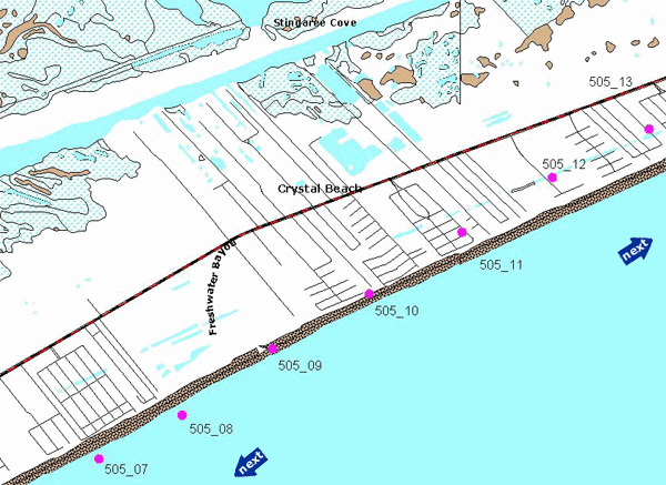
Galveston Island and Bolivar Peninsula | Bolivar Peninsula | Area 05
February 23, 1999
To request the high-resolution imagery, please send the flight date/name, and the list of your requested tiles, to the General Land Office Geospatial Team at Geospatial@glo.texas.gov or 512-463-4352.
The Texas General Land Office makes no representations or warranties regarding the accuracy or completeness of the information depicted on these images, or the data from which they were produced. These images ARE NOT suitable for navigational purposes and do not purport to depict or establish boundaries between private and public land.
Photo credit: Texas General Land Office.
Select a photo center point (![]() )
)
Film: 70 mm color (2.25" x 2.25" square format)
Format: digital scans (not georeferenced)
Camera: Hasselblad ELM
Lens: 100mm focal length
Altitude: approx. 7,400 feet (Gulf shoreline) approx. 8,500 feet (bay shoreline)
Film Scale: 1" = 1,875' (+/- 50 feet)