







Project Description
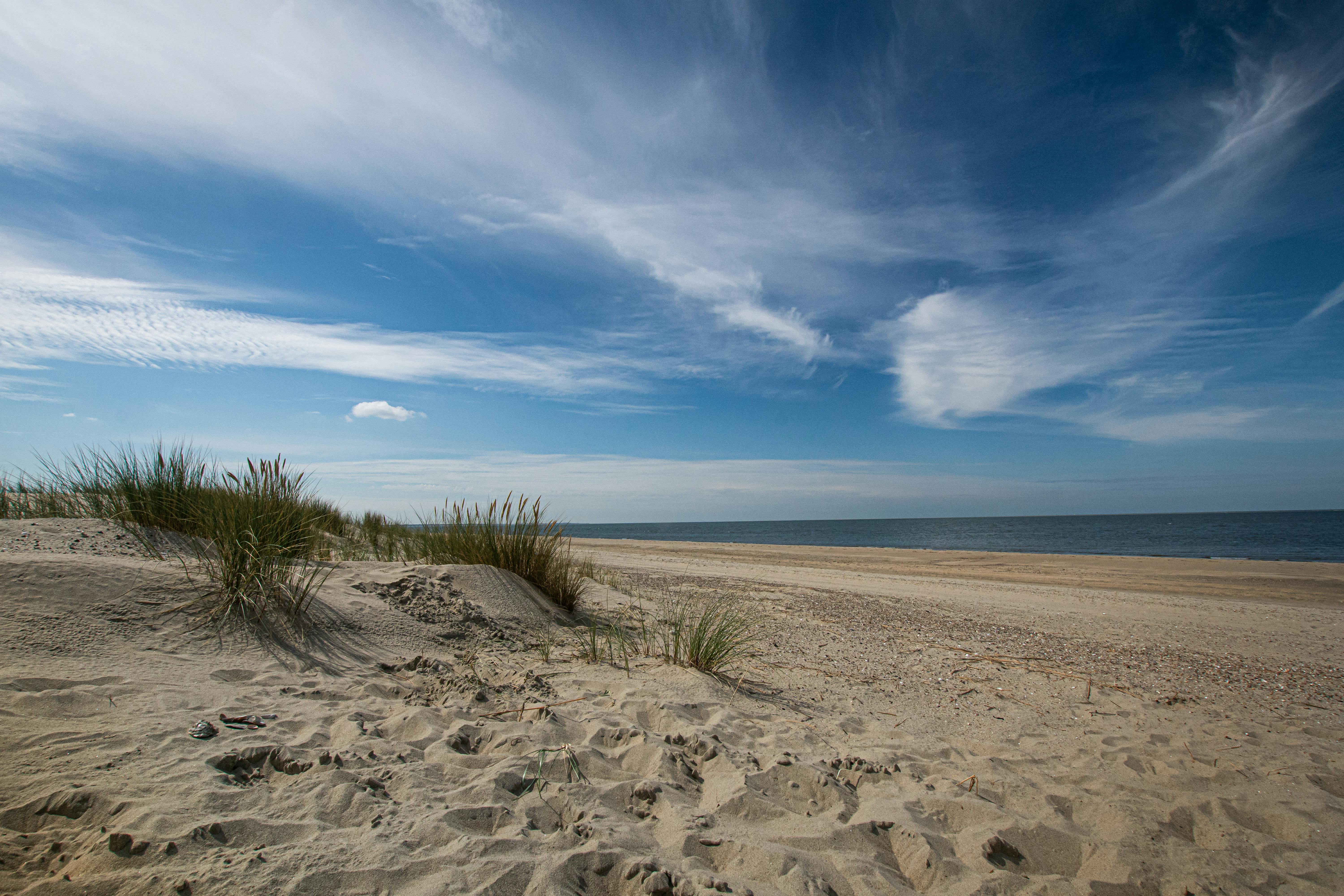
The University of Texas at Austin, Bureau of Economic Geology acquired accurate and spatially dense bathymetric and topographic elevation data and Color Infra-red (CIR) aerial imagery of South Padre Island.
Basics
Lower Coast
University of Texas at Austin
17
13-030-000-6895
Classification
CMP
306
Coastal Hazards
Timeline
Closed
2014
Project Assets
Contacts
Budget/Costs
$151,215.80