


Aerial Imagery & LiDAR Data
1930s Collection
1938 georeferenced black & white images of Jefferson County, McFaddin NWR, and Halls Lake.

1940s Collection
1943 and 1944 georeferenced black & white images of Brazoria, Harris, and Matagorda Counties.
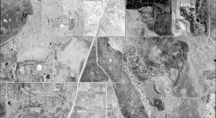
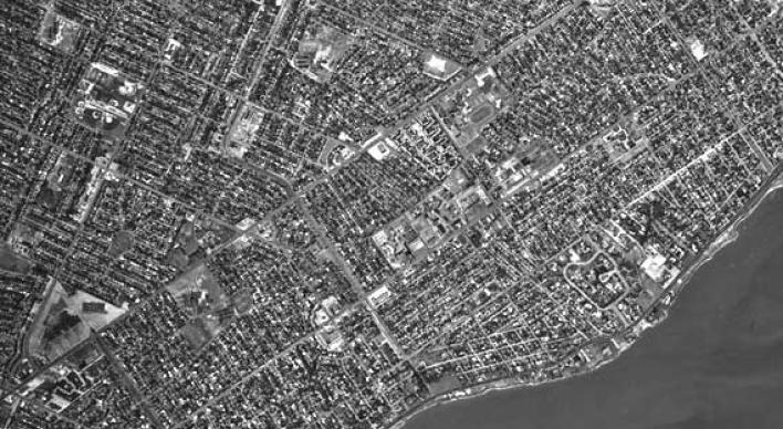
1950s Collection
1950-1957 georeferenced black & white images of Cameron, Harris, Matagorda, San Patricio, and Willacy Counties, plus Galveston.

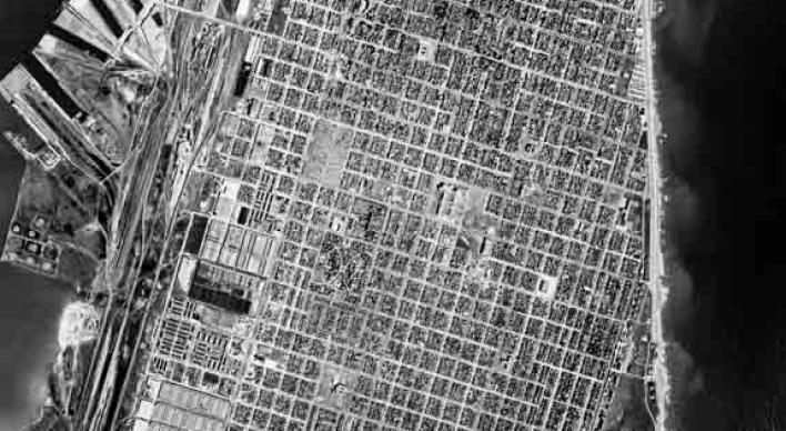
1960s Collection
1961-1969 georeferenced black & white images of Brazoria, Cameron, Galveston, Matagorda, Nueces, San Patricio, and Willacy.
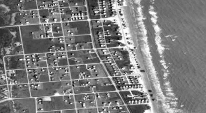
1970s Collection
1970-1978 georeferenced black & white or color infrared images of Chambers County, McFaddin NWR, the Upper Coast Gulf.
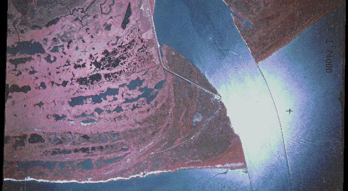
1980s Collection
1982-1989 georeferenced black & white or color infrared images of Galveston, Harris, and Nueces Counties, and the Upper Coast.
1990s Collection
1990-1999 georeferenced black & white, or non-georeferenced natural color images of Galveston, Nueces, and Orange.
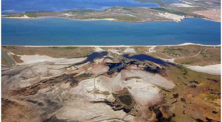
2000s Collection
2000-2009 georeferenced color infrared, natural color, or black & white images, natural color or black & white oblique images.
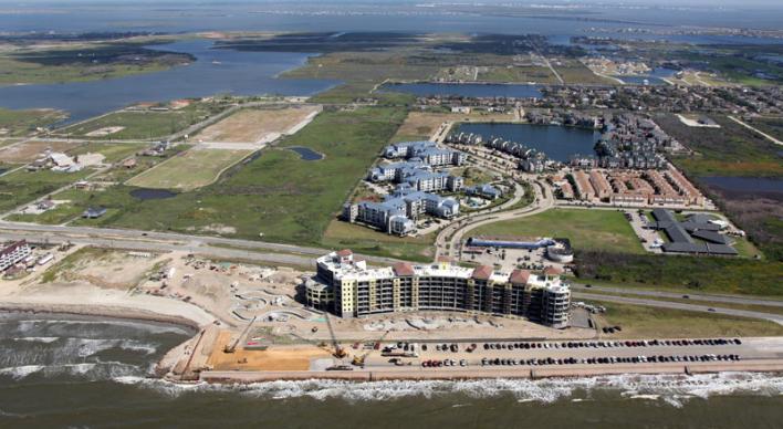
2010s Collection
2010-2015 georeferenced color infrared, natural color, or black & white images; natural color oblique images; and 3D LiDAR.