


Aerial Imagery & LiDAR Data > 2000-2009
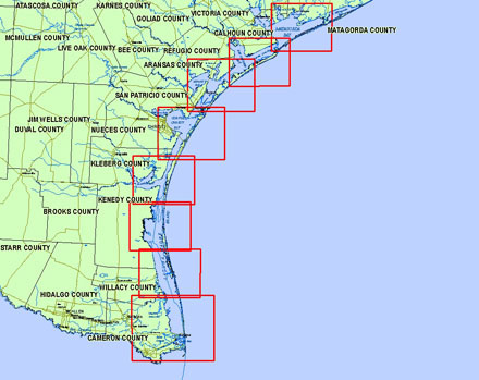
May 2000 LiDAR Elevation Data | Lower Coast
To request the high-resolution imagery, please send the flight date/name, and the list of your requested tiles, to the General Land Office Geospatial Team at Geospatial@glo.texas.gov or 512-463-4352.
The Texas General Land Office makes no representations or warranties regarding the accuracy or completeness of the information depicted on these images, or the data from which they were produced. These images ARE NOT suitable for navigational purposes and do not purport to depict or establish boundaries between private and public land.
Photo credit: Texas General Land Office.
Date: May 2000
Format: ArcInfo ASCII Raster format
Coordinate System: UTM NAD 83, Zone 15 (upper coast), Zone 14 (lower coast)
Locations: Matagorda Peninsula, Matagorda Island, San Jose Island, Mustang Island, North Padre Island, Padre Island National Seashore, Bolivar Peninsula, Galveston Island, Follets Island, San Luis Pass, Rollover Pass, Galveston Ship Channel (Bolivar Roads), Sargent Beach, Sabine Pass
Resolution: 1 Meter Digital Elevation Model (DEM)
Source: University of Texas, Bureau of Economic Geology