
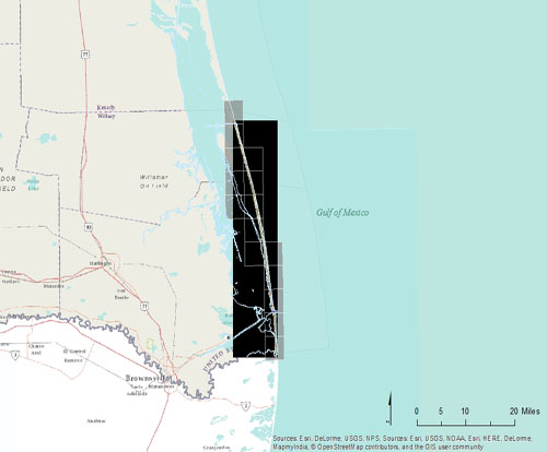
Click to zoom to an area.
Dates:
February 27, 2014
Format:
georeferenced color infrared digital image, WGS 84, UTM Zone 15; units: meters; GeoTIFF or ECW format
Resolution:
1 meter/pixel
Source:
Bureau of Economic Geology, UT Austin